• Defining the Way: Warrior vs. Soldier vs. Fantasy

    In 2013, I started a blog to explore a word that had become dangerously diluted by “warrior-style” fitness programs and tactical hobbyists. Today, in 2026, the noise has only grown louder. Everyone wants the “lifestyle,” but few want the Way.

    To build a code worth following, we must first define our terms.

    The Musashi Standard: Overcoming Men

    When we look at historical “Warriors”—from the Samurai to the Vikings—virtue was often an afterthought, but Strategy was the requirement. As Miyamoto Musashi wrote in The Book of Five Rings:

    “The warrior is different in that studying the Way of strategy is based on overcoming men… we can attain power and fame for ourselves or our lord. This is the virtue of strategy.”

    A vital component of the definition is that the warrior exists and trains to overcome other people who are trying to impose their will against him or his community. If your “struggle” is purely internal—a battle for “self-excellence”—you may be a philosopher or a student of character, but you are not a warrior.

    Skills vs. Service: The Price Tag

    There is a common misconception that practicing a martial art or attending a rifle school makes you a warrior. It doesn’t. Those are warrior skills.

    • The Fantasy: Training exactly like a Tier 1 Operator in your backyard.
    • The Reality: Actually putting it on the line.

    Karate no more makes you a warrior than playing catch makes you an NFL quarterback. To be a “Warrior,” you have to go out and “put it on the line” in service to others. Anything less is merely the “Warrior Lifestyle”—a costume worn by those who enjoy the aesthetic of danger without the burden of risk.

    Virtue: The “Add-On” to the Way

    There is a popular modern sentiment that a “true warrior” must be a man of excellence and virtue. While I value the Warrior Ethic, we must be historically honest: Warriorship has never had a universal mandate for virtue.

    The Vikings sacked cities; the Mongols decimated populations; the SS were elite, highly-skilled warriors who served a reprehensible cause. They were “warriors” by any technical definition, yet they were not “virtuous” by ours.

    Virtue and self-improvement are desirable—and essential for a modern protector—but they are an “add-on.” History proves that you can be a master of the Way of the Sword while being a monster. This is why our modern code must be intentional.

    The 2026 Definition

    So, what separates the Warrior from the Soldier? In our times, it is a matter of professionalism, commitment to craft, and the honoring of a personal code. It is the difference between someone who “does something” and someone who “is something.”

    My definition remains:

    1. Preparation: Trains relentlessly to overcome other people.
    2. Mastery: Constantly seeks to perfect those tactical skills.
    3. Application: Uses those skills in actual service to others/community.
    4. Identity: Sees the honing of “craft” and “service” as a Way of Life, not just a paycheck or a term of enlistment.

    Closing Thought

    We don’t need more people living a “warrior lifestyle.” We need more people dedicated to the professionalism of the craft. Whether you are a patrol officer or a citizen-protector, the question isn’t how much gear you own—it’s what you are willing to risk for your “clan.”

  • Summiting Colden: Conquering the Trap Dike Adventure

    My 46er goal was complete, but there was still one thing left to do. I had always wanted to summit Colden via the Trap Dike.


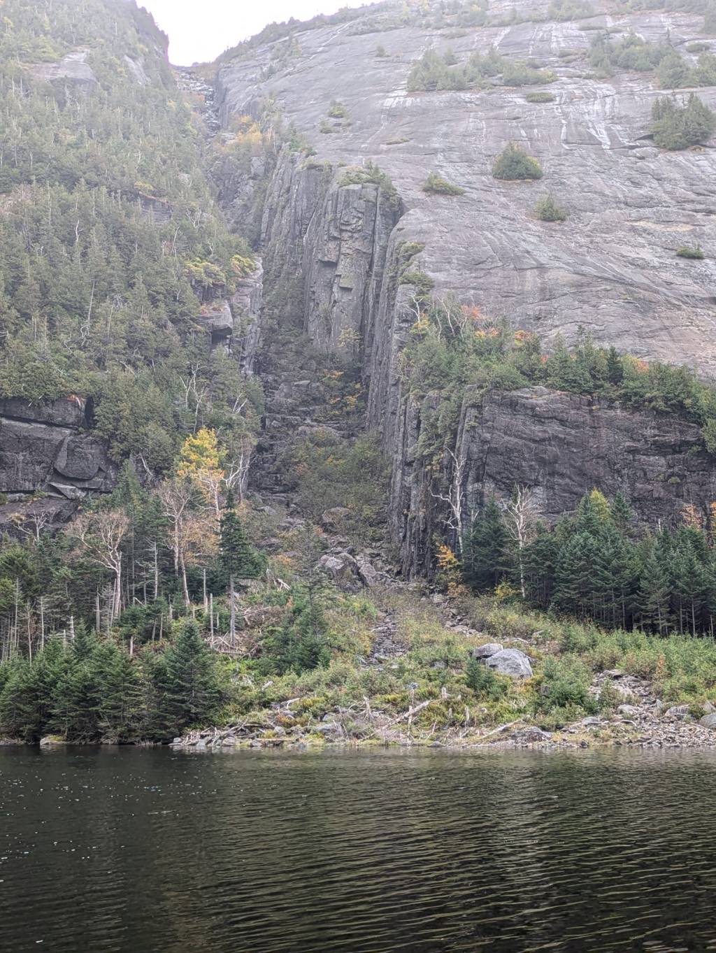
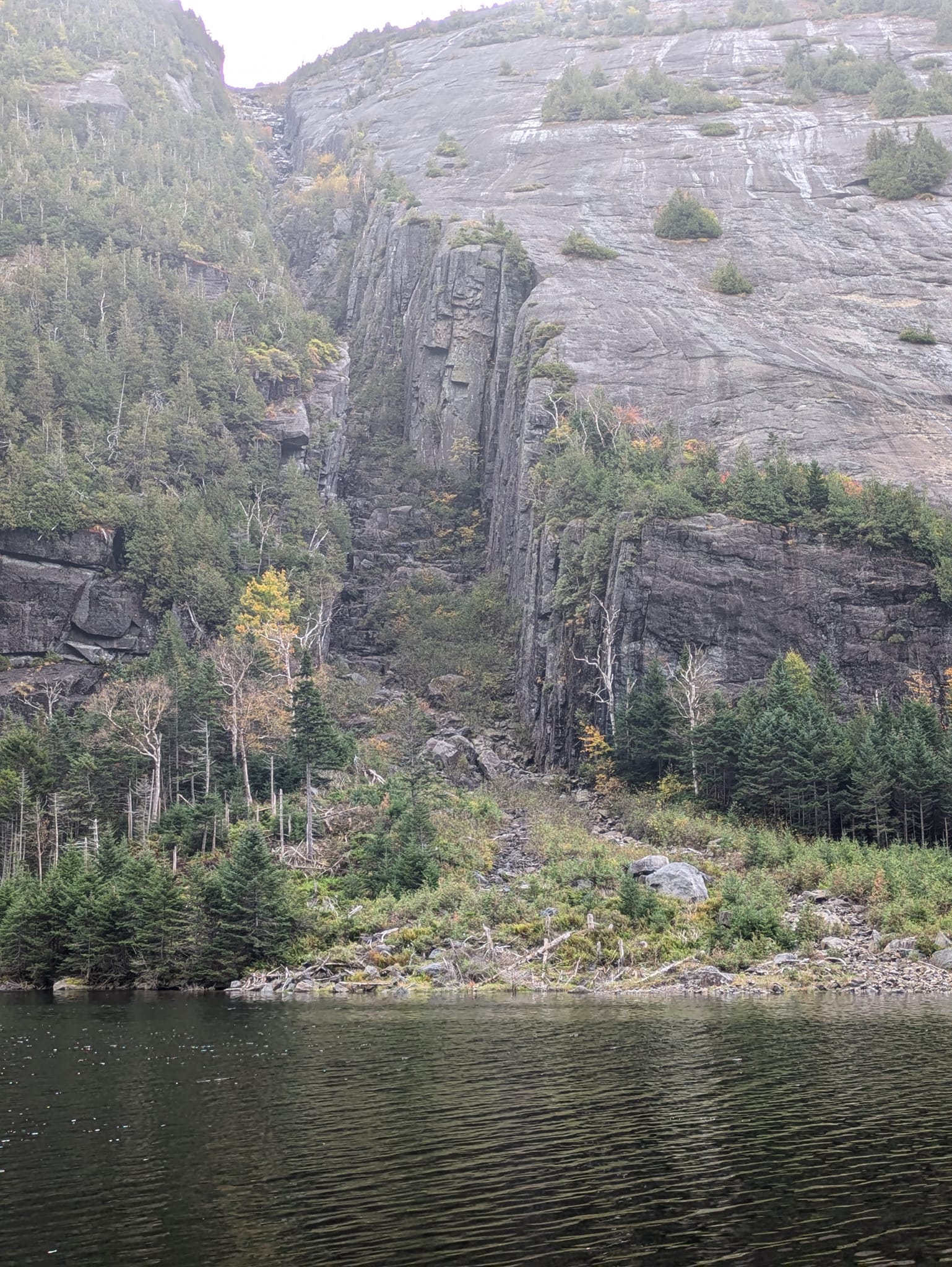
    I had hiked past it numerous times on the Hitch-Up Matildas, watching climbers ascend its rugged path, knowing my 46er experience wouldn’t feel complete until I did the same. I didn’t take the challenge lightly. I read countless trip reports, studied rescues and fatalities on what’s often called “the most dangerous hike in the Adirondacks,” and watched YouTube videos to analyze the route. I identified the crux (depending on whose opinion you trust) and pinpointed the slab exit. The consensus was clear: if you attempt the Trap Dike for the first time, go with someone who has done it before or hire a guide. That’s solid advice, and I don’t want this article to suggest otherwise. But with my climbing background, my experience from completing the 46, and my research, I was confident in my ability.


    I recruited my longtime friend Paul—one of my early climbing partners and a fellow High Peaks summiter—to join me. Our schedules aligned for the last week of September. My usual planning involved checking AccuWeather obsessively. The Trap Dike requires at least three to four consecutive dry days for ideal conditions—no waterfall cascading over the crux, no dangerously slick slabs. August and September of 2024 had been unpredictable, and I anxiously watched the forecast fluctuate. Finally, September 29th emerged as our best window. After a few days of rain, it looked like we’d have at least two, possibly three, dry days before reaching the base of the dike. We pulled the trigger.

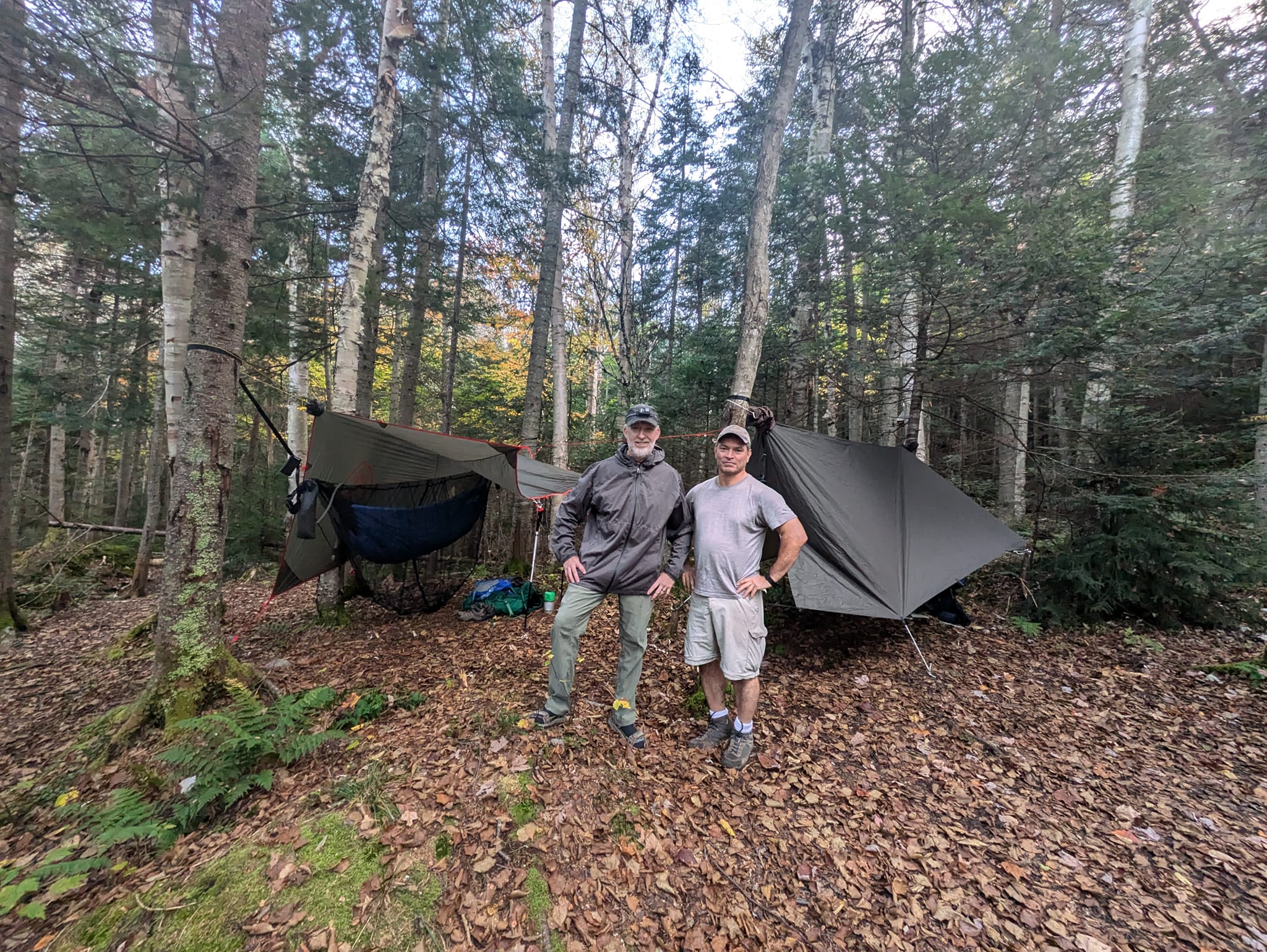
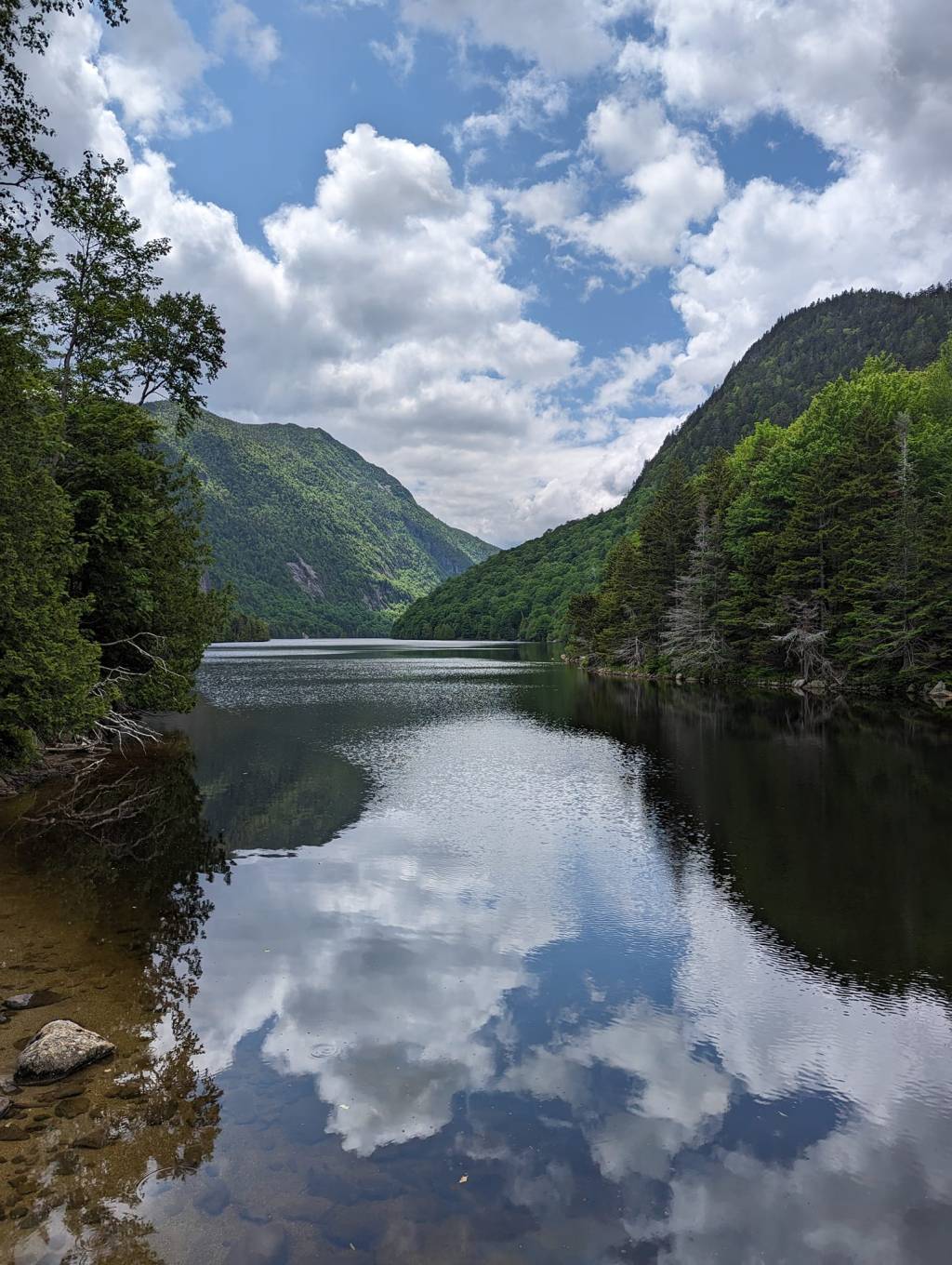
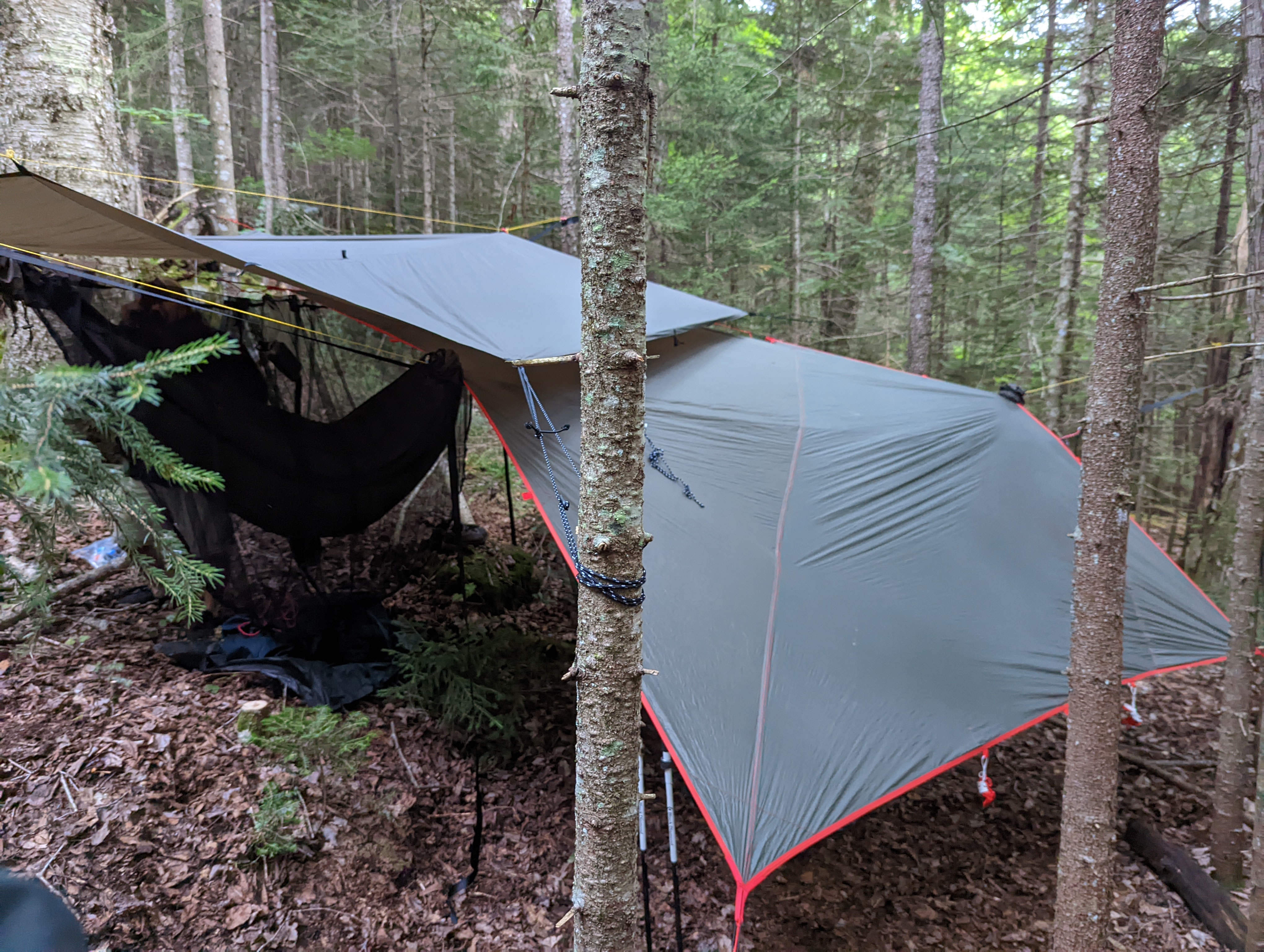
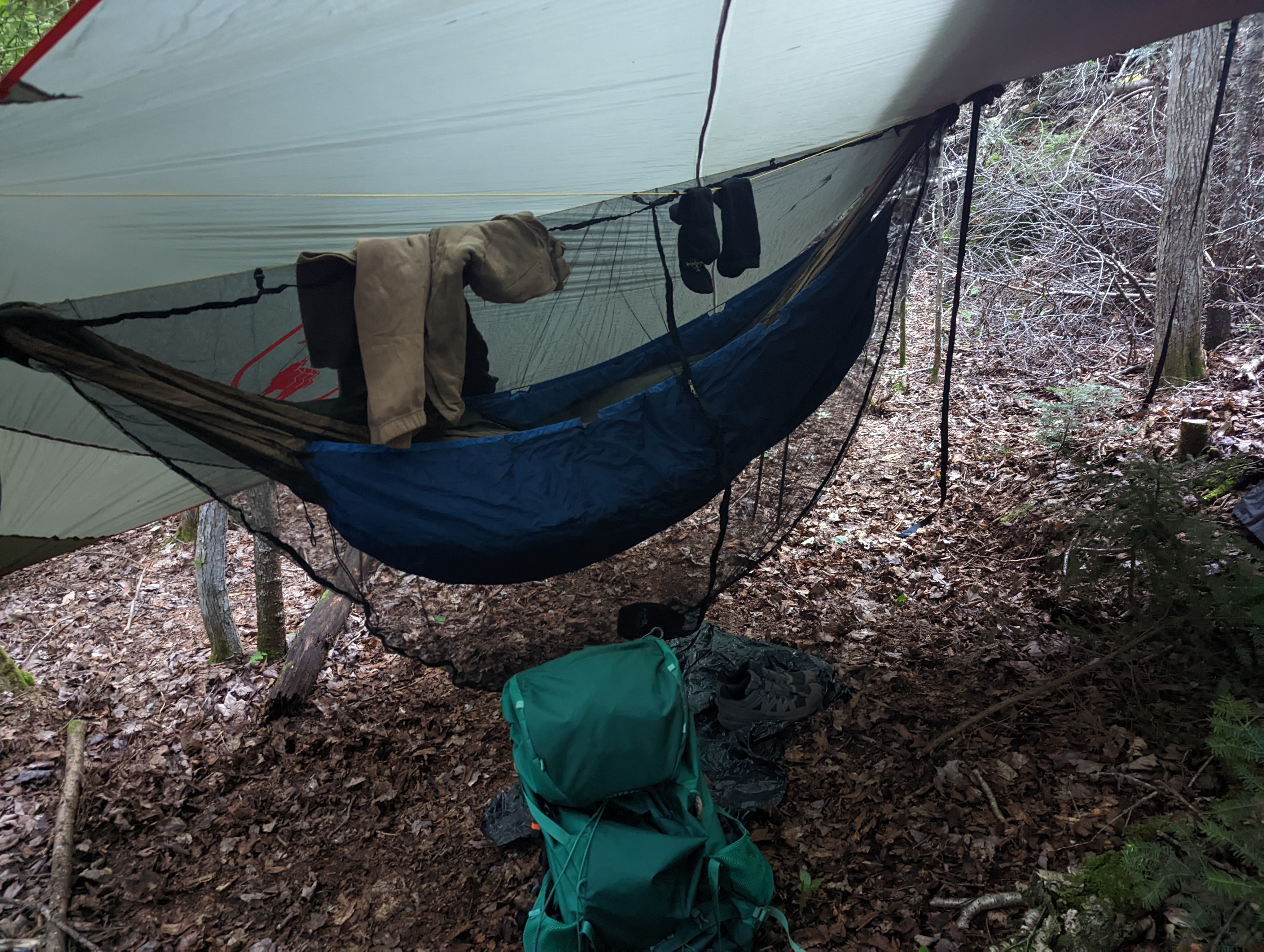
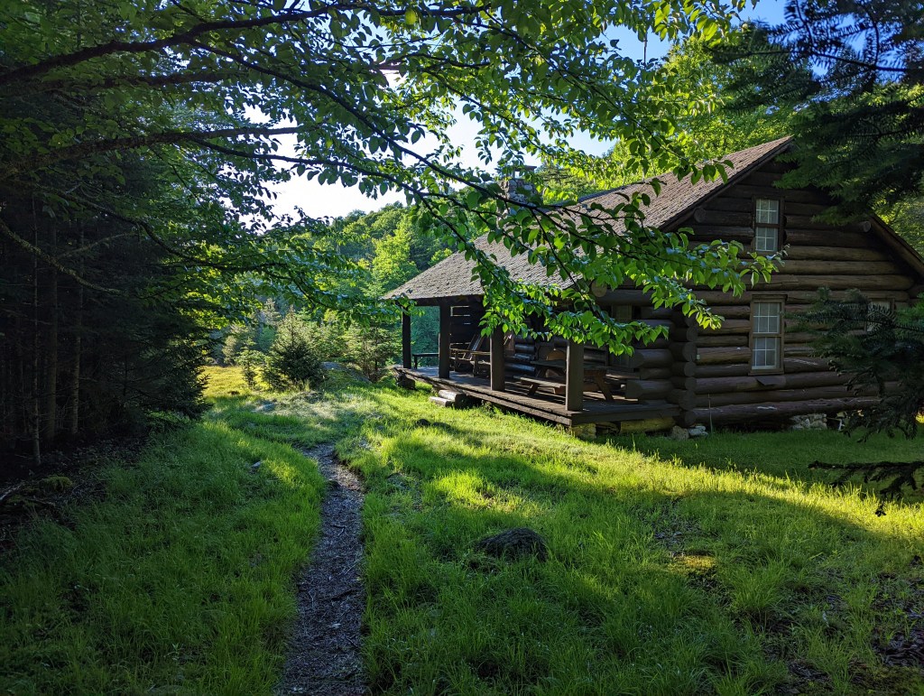
    We parked at the Loj and hiked to the Avalanche Lean-To where we set our hammocks. The next morning we woke to a mostly sunny day, though cumulus clouds broke up the blue. After breakfast, we put on our daypacks and headed toward Avalanche Lake. Once we got onto the Hitch-Up Matildas and could see the dike, I heard what I had been most worried about—running water.
    Through my binoculars, I saw some water running down the lower section of the dike and a group of climbers making their way up. Time to make a decision.


    Our fallback plan was to summit Colden via the marked trail (Paul hadn’t done Colden yet) if we bailed on the dike attempt. We decided to continue and see how those hikers had managed. At the base, I moved ahead up the scree and talus slope. Voices and scrambling echoed above me. A group of four young men—kids to me in their twenties—were downclimbing. When they reached me, they told me the crux was a waterfall, impassable, and they were turning back.

    But I noticed something: they were all wearing full packs, and at least two were in Crocs.
    Paul was still below, waiting for my decision. I waved him up. I told him what they had said but shared my doubts. We agreed to continue up to the crux and see for ourselves. If it was truly impassable, we’d turn back.


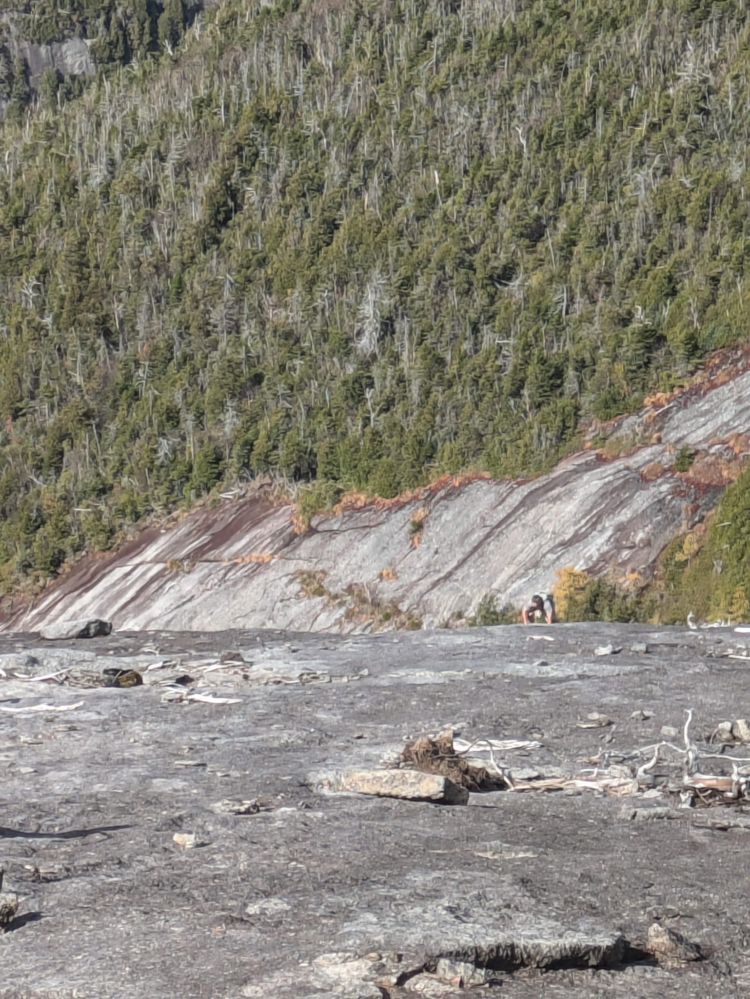
    The crux is a large boulder requiring two or three Class 5 moves to get over. A fall could be fatal—not so much from the height but from striking your head on rock. But it looked fine. The channel to the left, a dihedral, was a small waterfall. I assumed the other hikers had attempted that instead of the more exposed but proper route over the boulder. I climbed up and coached Paul on the hand and foot placements.


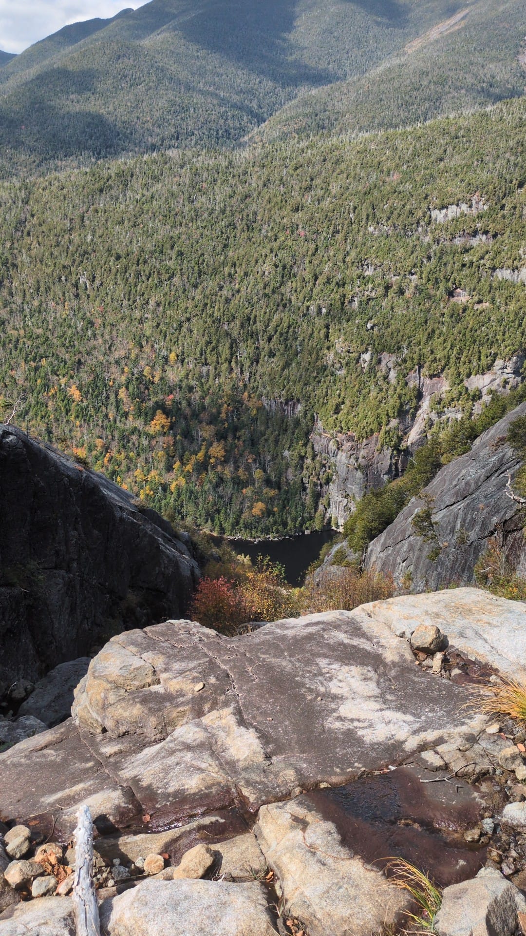
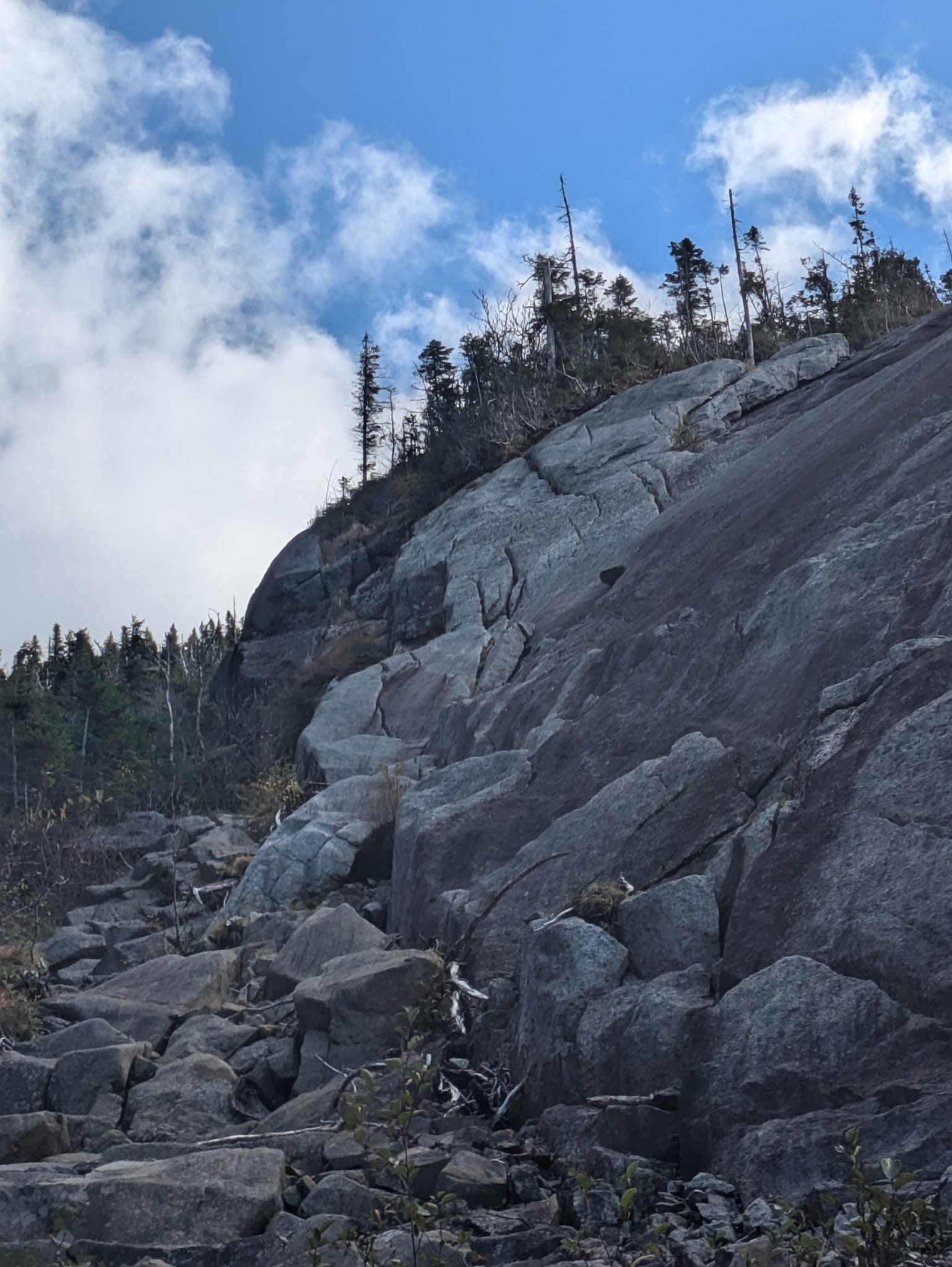
    Beyond the crux, we navigated damp rock and trickling water, using the “one limb at a time” rule. We exited the dike onto the Hurricane Irene slide, carefully avoiding the slick and steep Old Slide, where past hikers had needed rescues. The final climb was a long leg burner, alternating between steep hands-and-feet sections and walkable stretches.


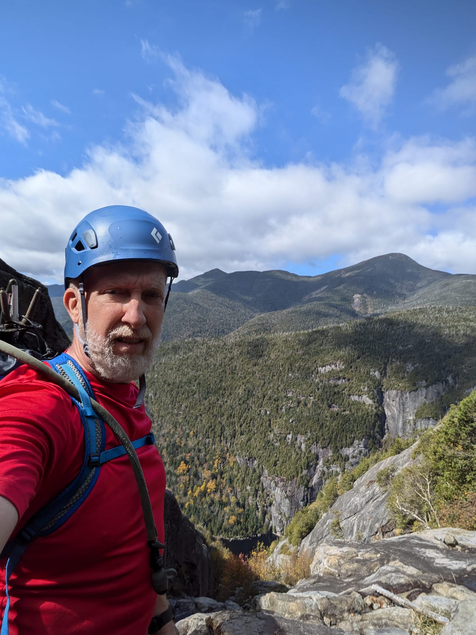
    Finally, we reached the summit. We took a few moments to soak in the views—breathtaking as always. After a leisurely descent back to our campsite, we completed our plan with dinner and stargazing from our hammocks until sleep took us.


    For me, this climb was more than just another summit—it was the perfect conclusion to my 46er journey.

  • Mission Accomplished

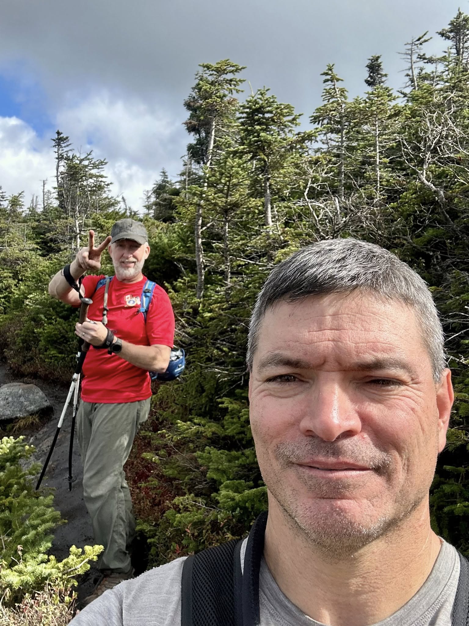
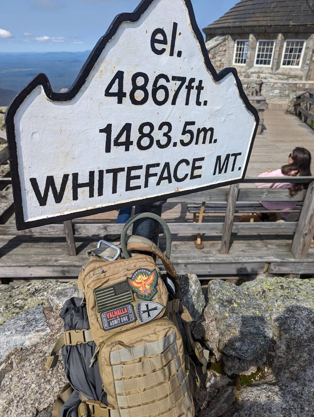
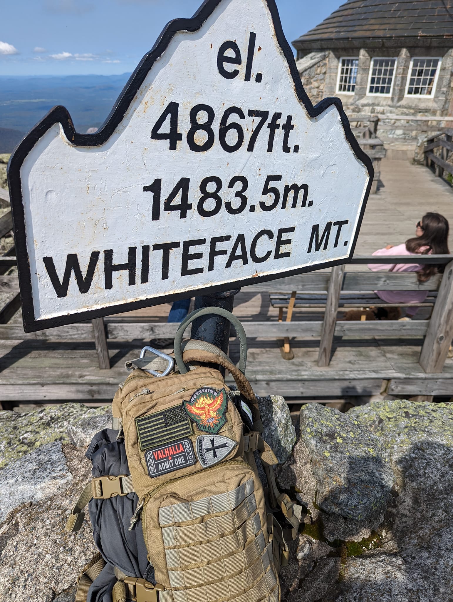
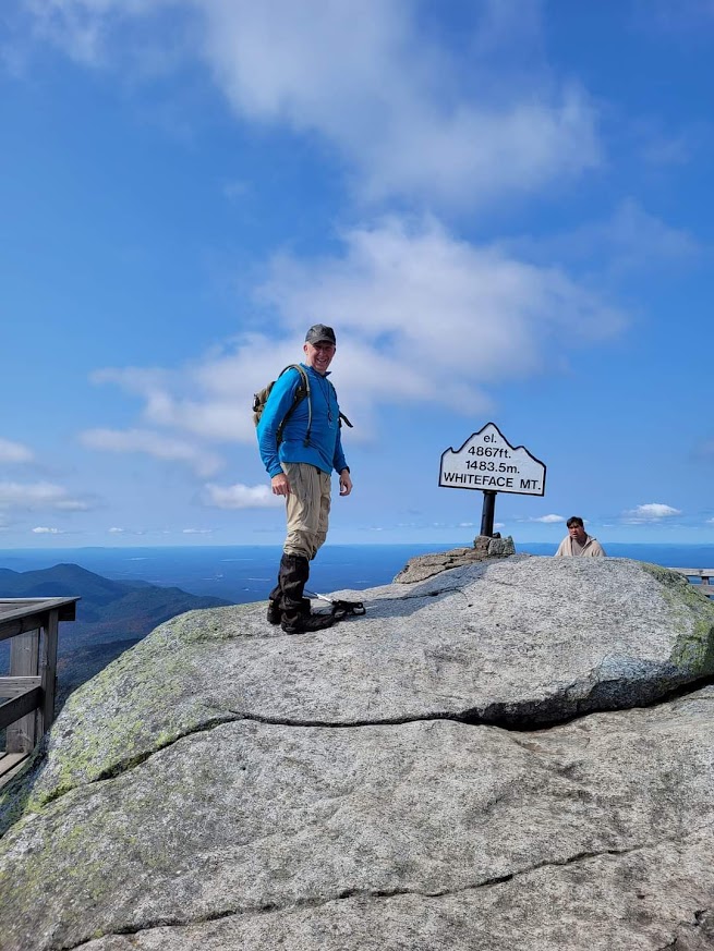
    In September of 2023 my wife and I went to Lake Placid to share in my 46er completion. She dropped me off at the trailhead and I hiked to Esther and Whiteface where I met my wife who drove up to the top. I of course, hiked back down to the trailhead where she picked me up.

    Mission Accomplished!

  • Exploring the Sawteeth and Giant Peaks: A Summer Adventure

    It’s been a while since I’ve updated this “travelblog”. I have completed my 46 and sort of let this slide. Now that I have a moment, I figured I’d wrap up the remainder of my excursions.

    In June of 2023, my buddy Paul and I went to the Park to tag Sawteeth and do Giant (again for me) since Paul hadn’t climbed that one yet. We had to deal with the AMR parking reservation system back then. It really wasn’t as bad as I feared and it was kind of nice knowing there was going to be a spot for us when we got there.

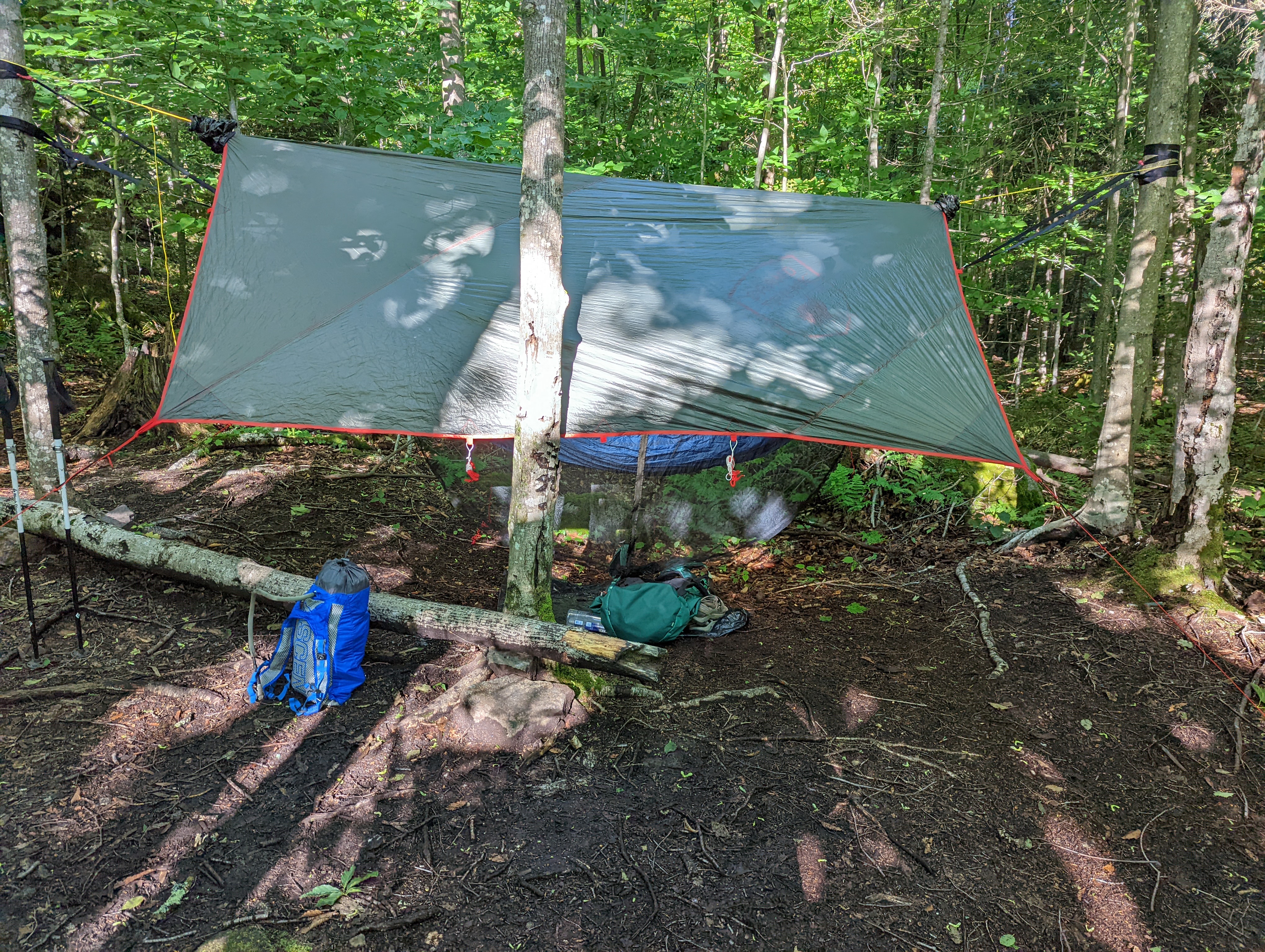
    Not a lot of High Adventure on this one. We had a pleasant (but long) walk down the AMR road and went up to the summit. Afterwards, we moved to a campsite near Chapel Pond and hammock-camped. The following morning, we did Giant. We considered doing Rocky Peak Ridge for Paul while we were there but our return schedule didn’t allow for it. Overall a pleasant trip.
    No photo description available.
    No photo description available.
  • Allen Mountain

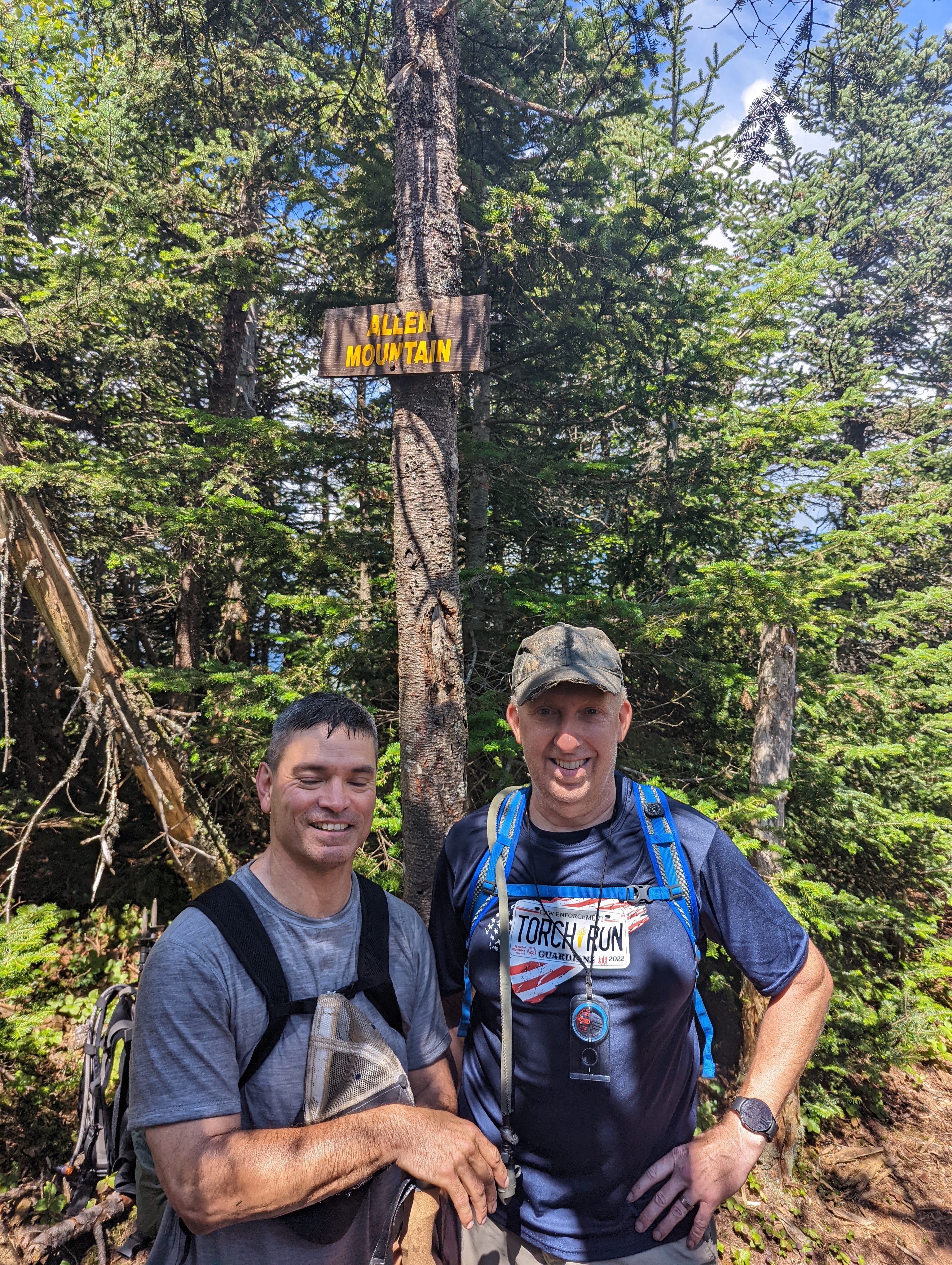
    In August of 2022 my buddy Paul and I returned to the ADK’s to climb Allen Mountain.

    Mt. Allen is renowned for two things. It’s remoteness and its slick slabs. At about 9+ miles out and 9+ back from the Mt Adams Fire Tower trailhead on Upper Works Road, it’s the most remote High Peak of the 46.

    The plan was to hike to within a mile of the summit and camp so we didn’t have to head out at the crack of dawn for a change. We arrived at the trailhead before noon and headed out. The hike was blessedly flat and smooth most of the way in with some up and downs only as we got near the base of the mountain.

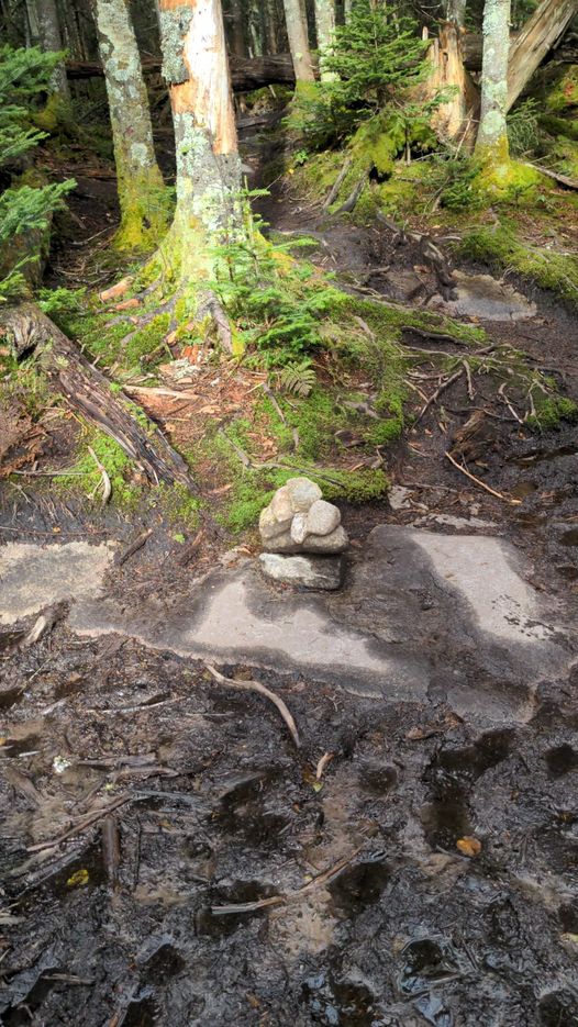
    The first half of the hike is along a marked trail that is a combination of wilderness trail and old logging roads. Eventually you cross the Opalescent River at a spot where a foot bridge used to be. It was washed out in a storm a number of years ago and hasn’t been replaced. During high water times you may have to wade across but in Mid August we were able to rock hop across easily. Another mile or so down the trail follow the cairns right to the herd path that is the remainder of the way up. The path is pretty well worn and easy to follow.

    There are no official camping areas on this hike, but people who camp typically do so near the crossing of Skylight Book. That’s what we did. More or less the 150′ from the trail and the brook we pitched our hammocks. After dinner we hit the rack with the intention of summiting in the morning.

    The following morning dawned bright and clear and we headed up. The start wasn’t any steeper than any other high peak till we hit the slab sections.

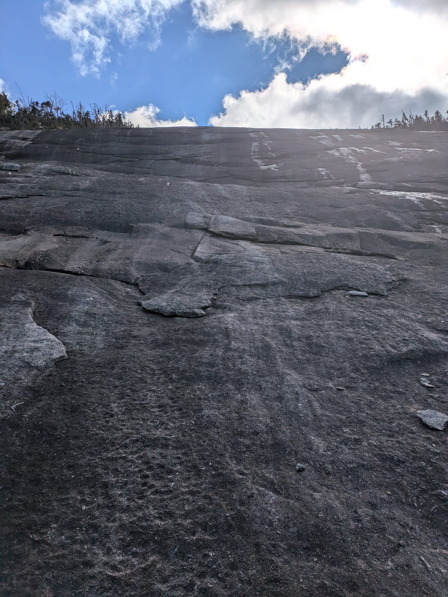
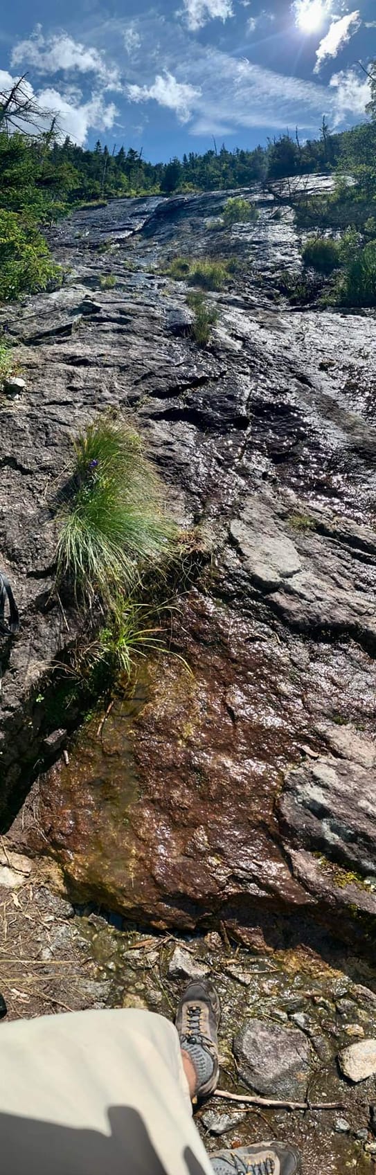
    On the “red slime”. It is there. It is slick. It wasn’t much of a problem on the way up. The way down though…but that’s for later. You keep going up sections of slab followed with trail sections till you hit THE slab:

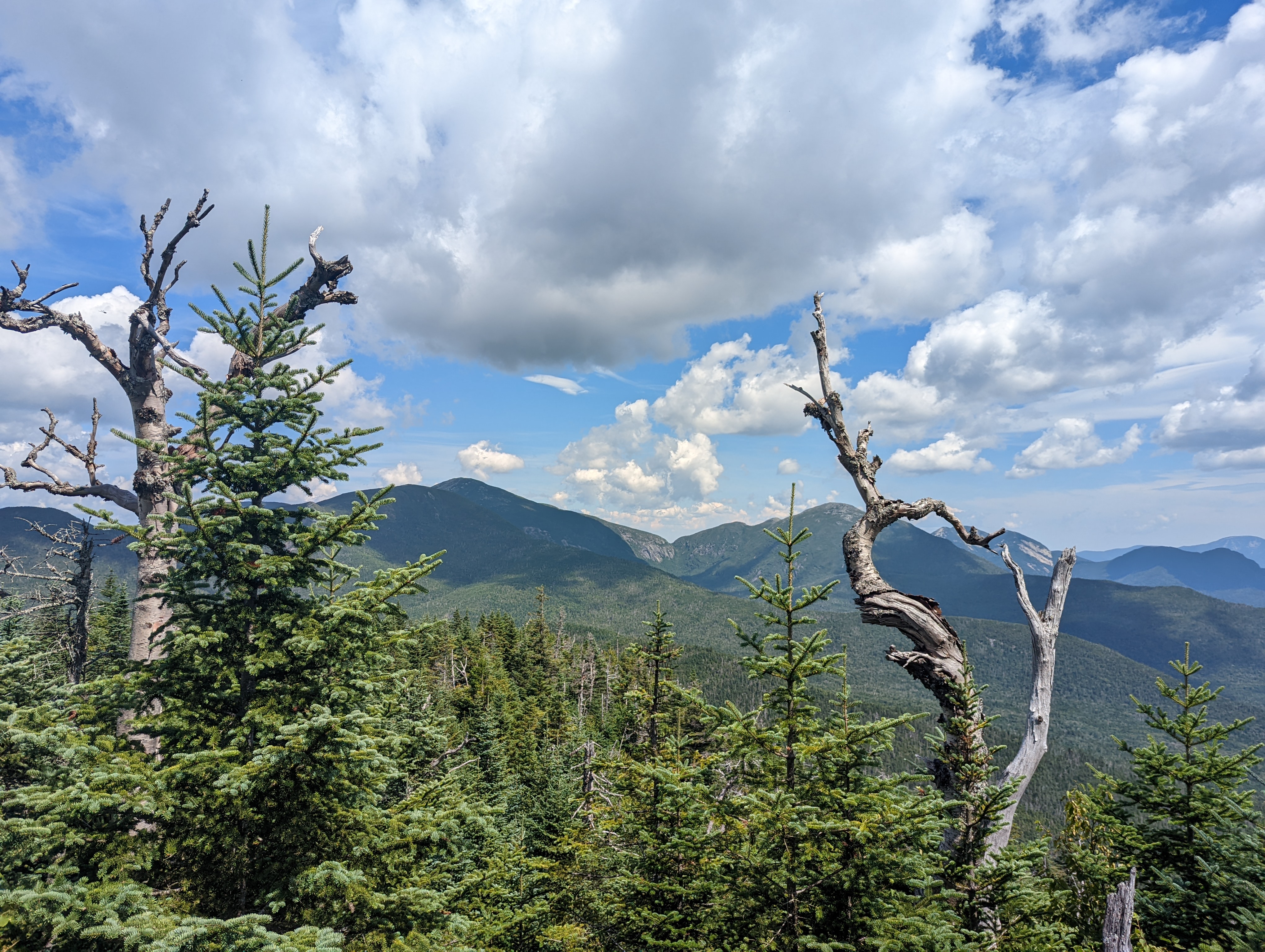
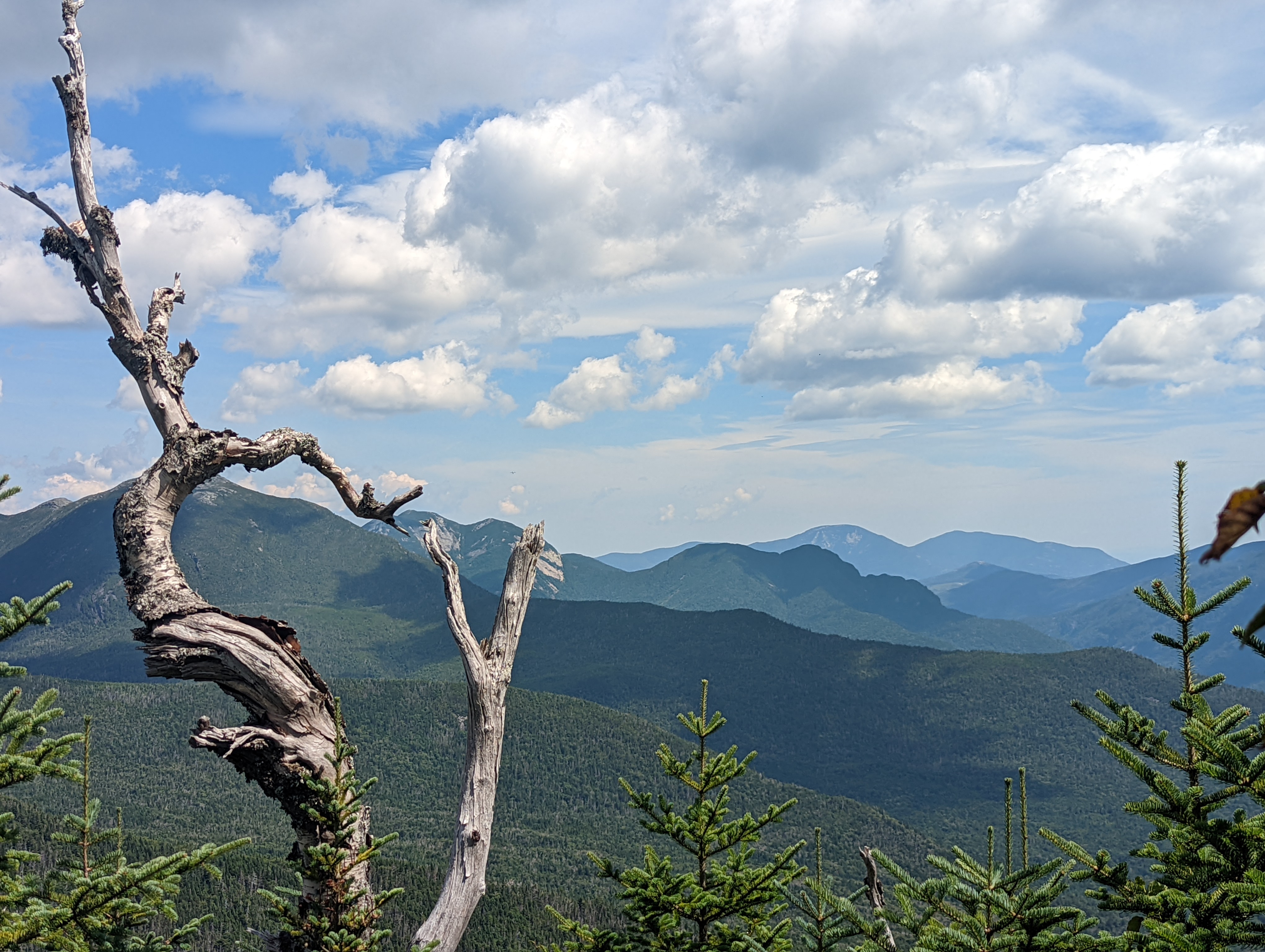
    Don’t do what we did (go right) you should stay left…I guess there’s a cairn we missed. We made it to the top of this slide and went into heavy cover where the trail died. We had to bushwack left till we found the trail again. After a short section of steep trail you hit the summit ridge and follow it to the summit marker. There are two spots off the peak with some great views.

    After taking in the views we started back. Here’s where the slime got me. I took two good falls on the way down, whacking my left elbow good on the first one.

    We returned to camp and after a wash-up and a nap decided that instead of waking up early and hiking out that we would hike out under headlamps. So that’s what we did. It was the first lengthy night hike I’ve done in the ADK’s.

    When we eventually found the car we unloaded and started the drive home. That’s when I noticed my left elbow feeing a bit stiff. When I felt it I found it had swelled to a good 4-5X its size. I probably burst the bursa sack on it. I kept it elevated over my head for a solid 1.5-2 hours till we found the first open gas station near Verona and I got some NSAID into me. It did the trick, by the time I got home it was pretty much back to normal size (but I still have a slight “Popeye” look to that elbow).

    With Allen done I have 3 peaks left on my quest for the 46.

  • Lower Wolf Jaw and Basin

    In mid June 2022 I went on my first solo backpacking/hiking trip to the high peaks. My goal was to hit Lower Wolf Jaw, Sawteeth and Basin.

    I drove through the night and arrived at the Garden Lot around 0330hrs on 19 June. It’s a paid lot now ($10 a day) and there was still plenty of room on an early Sunday morning.

    I humped in the 5+ miles to the designated camping area just before the Lower Wolf Jaw lean-to and set up my hammock.

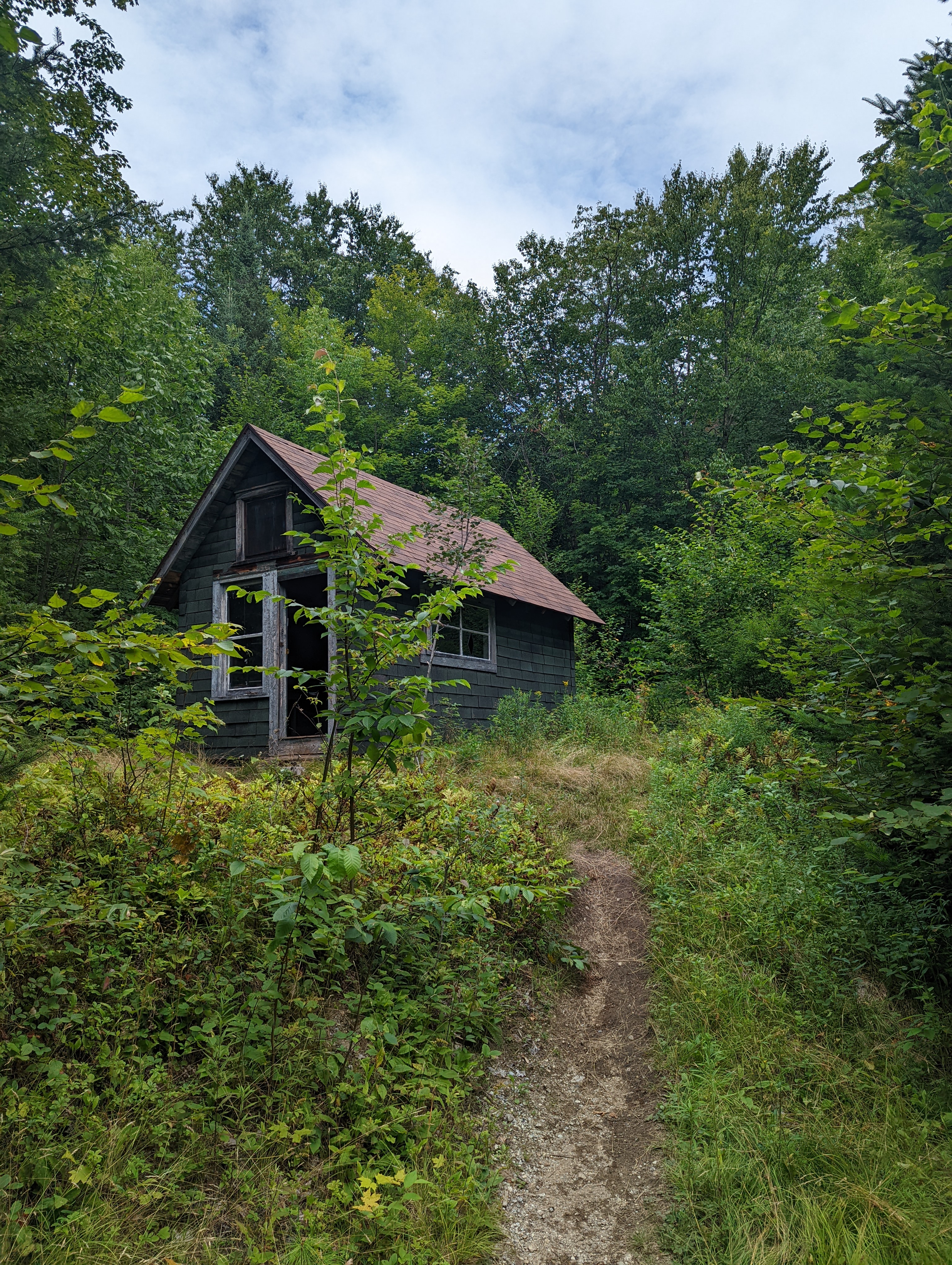
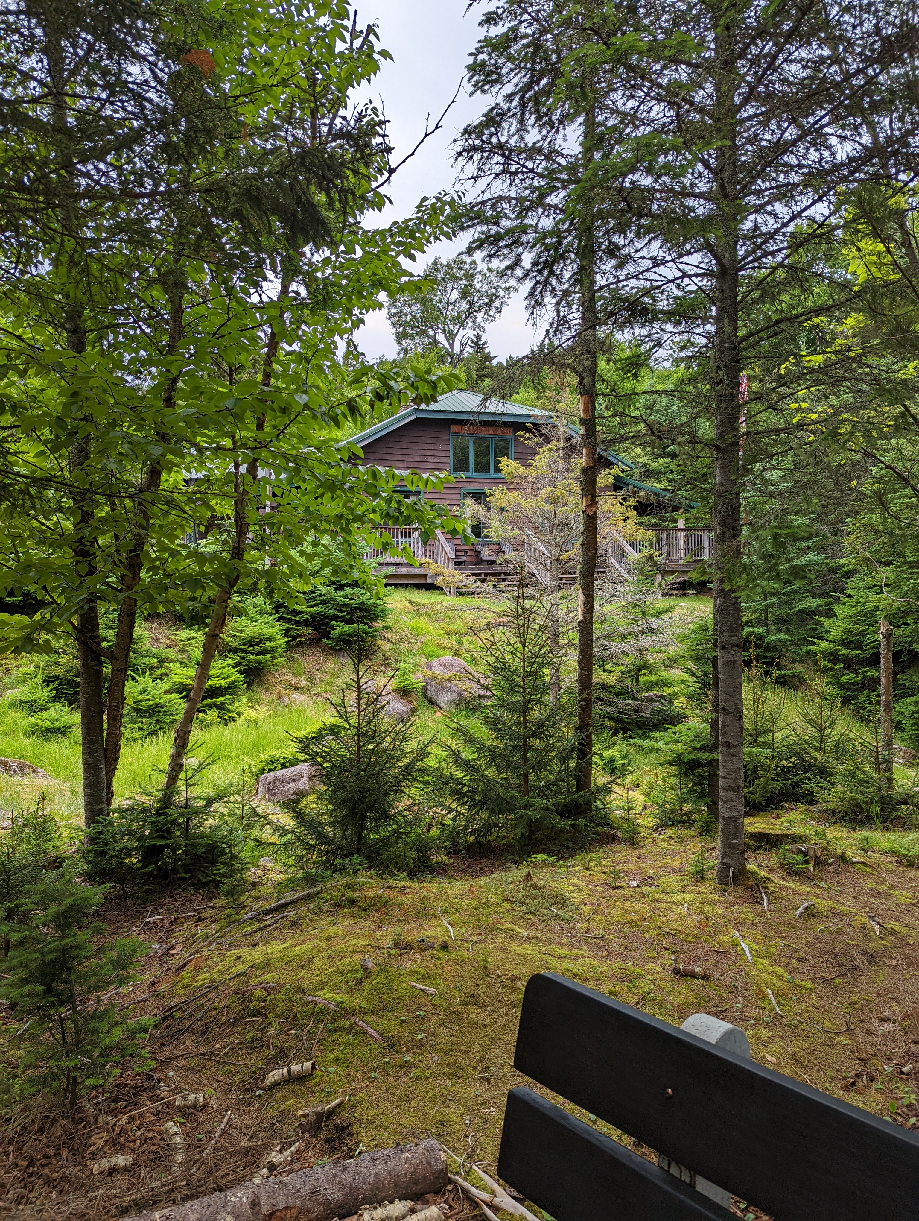
    Ranger Cabin near JBL

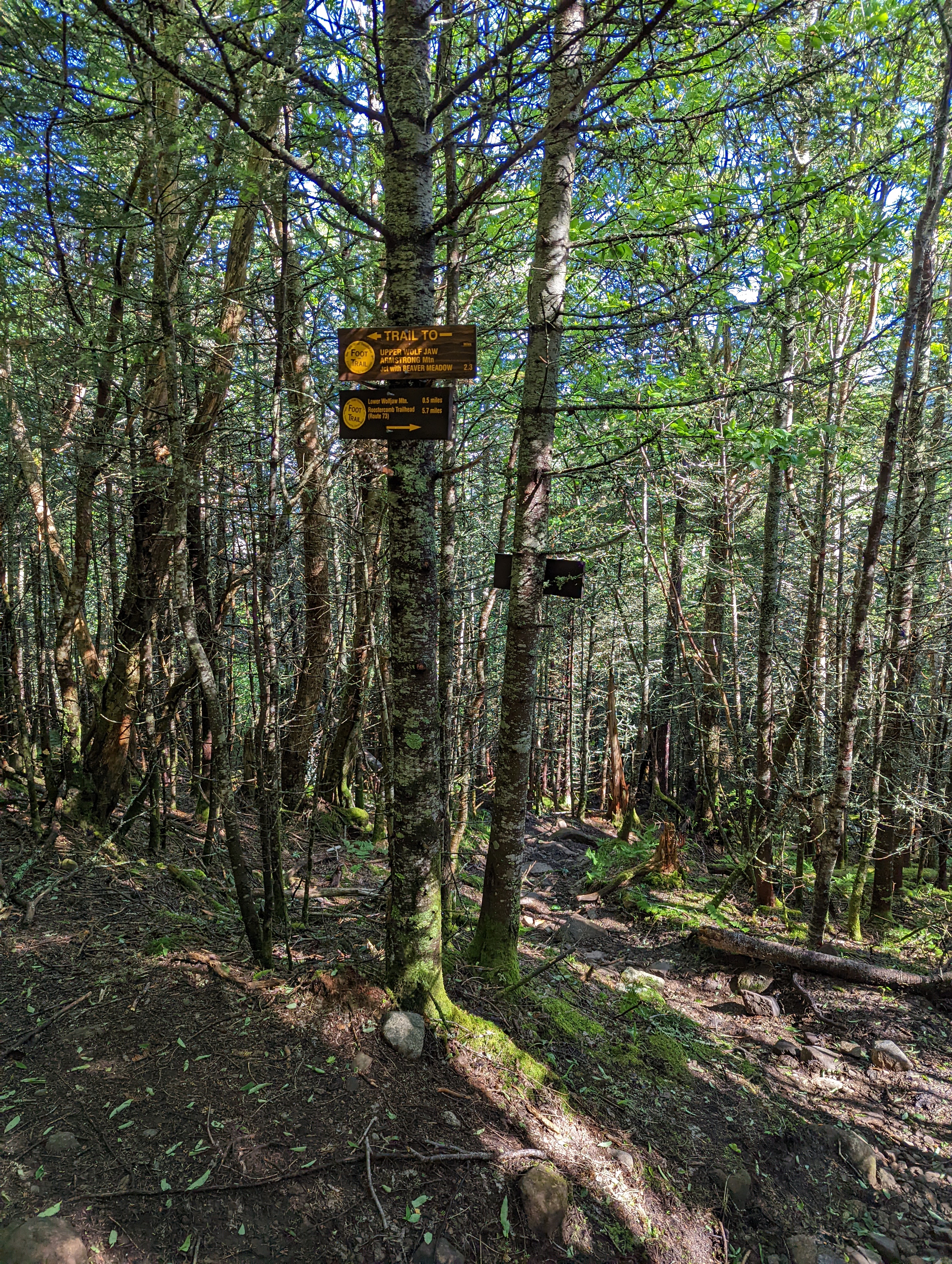
    The intent was to summit Lower Wolf Jaw then head over Upper Wolf Jaw/Armstrong/Gothics then cross over Pyramid to Sawteeth and return. I headed up to the intersection between the Wolf Jaw’s and made the left towards the summit of Lower that was about .5 miles up from there. It was the usual steep going sort of trail but I made it.

    Lower Wolf Jaw

    So…back down to the intersection then back up another .5mi to the summit of Upper Wolf Jaw. It was at this point that I realized I wasn’t going to be able to stick to my plan of going out to Sawteeth and back. The all-nighter drive, some tendonitis pain in my left foot, and the fact that I was almost out of water with no real opportunity to refill made me decide to call it a day and return to camp.

    I slept like a baby and got up around 0500 the following morning. Had some breakfast, packed up and moved camp down past the Johns Brook Lodge and up to the Bushnell Falls Lean-to site.

    JBL

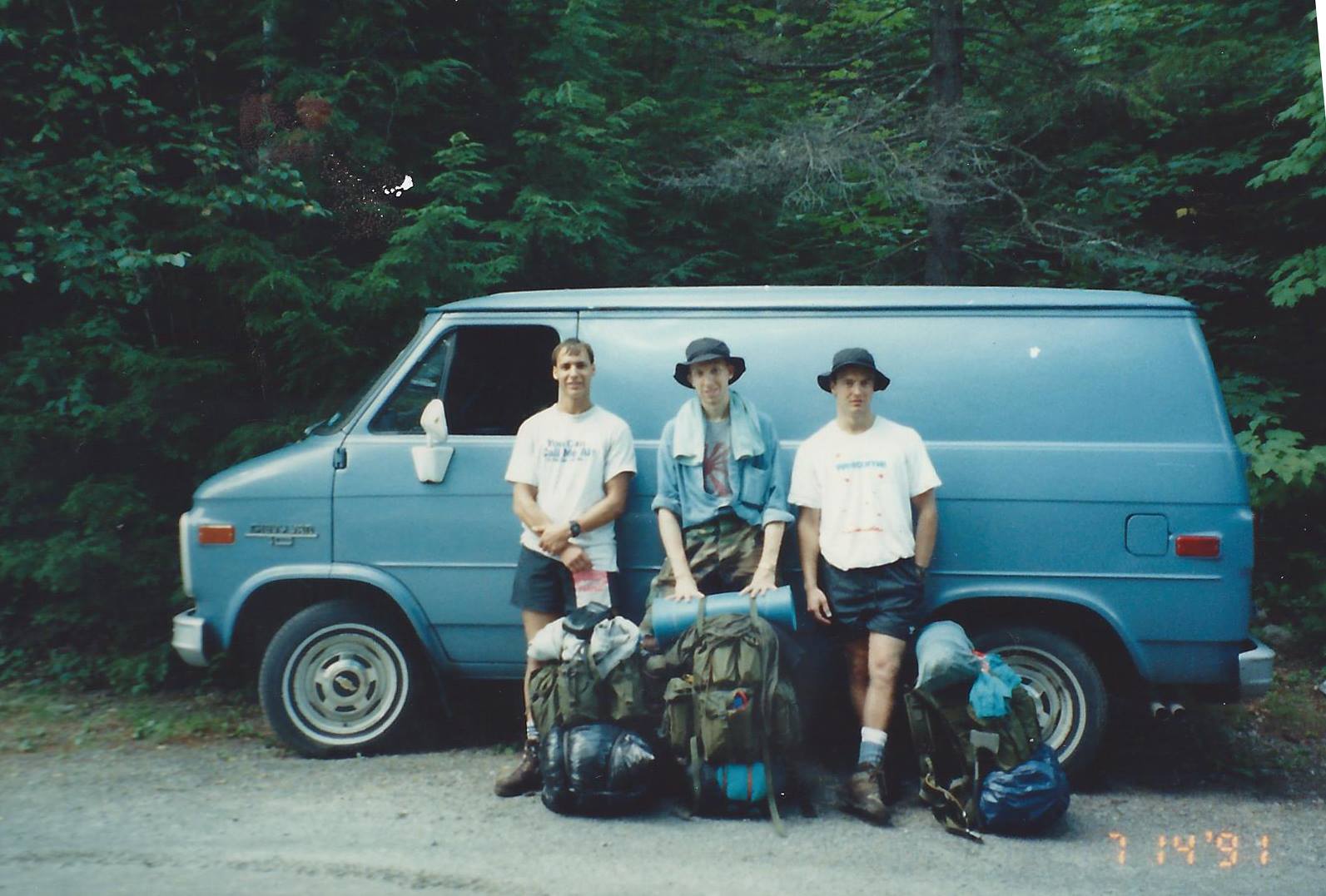
    I hiked to the Slant Rock Lean-to and had someone take my photo. I hadn’t been to Slant Rock since my first trip to the ADK’s in the early 90s to climb Marcy with my high school buddies Mike and Alan.

    The area was different. The Lean-To used to be right next to the rock. The remains could be seen but a new one had been built in a different location.

    2022
    Way Before

    I hiked from there up and over the saddle between Haystack and Basin to the trail intersection between the two and started up Basin. It was some pretty steep going but the reward was worth it with Basin’s views.

    I took a leisurely hike back to Bushnell Falls, cooked dinner and hit the hammock. Besides some people I saw along the trails during my hiking I think I had the area to myself both nights….nobody else was camping. I slept like a log.

    The following morning I had breakfast, packed up and went down to see the falls that were my white noise lullaby overnight.

    It was starting to drizzle on my hike out. I hiked/limped (that tendonitis in my left foot was a bitch on this one) back to JBL and took a rest before returning to the car back at the Garden.

    After the traditional beer and burger stop I went home. Two more high peaks down.

  • Stove Replacement

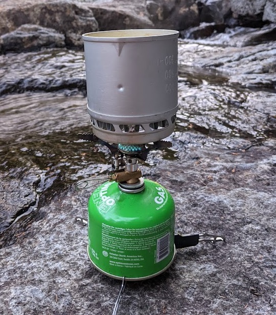
    A couple of years ago I switched from carrying my MSR WhisperLite (because it’s not so “lite”) to a Pocket Rocket knockoff I purchased from Amazon. It’s far lighter, smaller and more than enough stove for a 3-4 day trip. The only “thing” with the knockoff is that the igniter on it is unreliable and I need to use my lighter to start it. No biggie.

  • Street and Nye

    I sort of fell off on updating this blog….

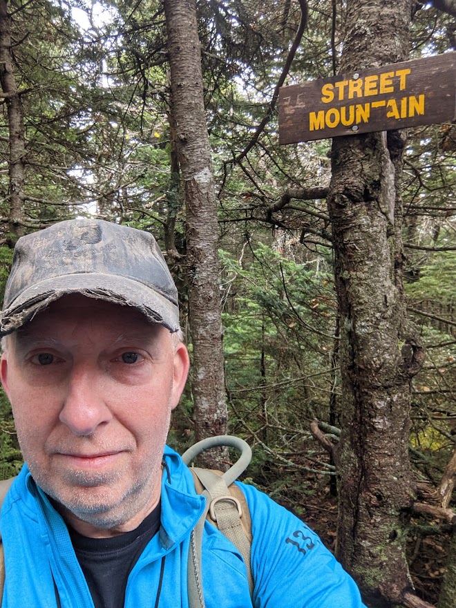
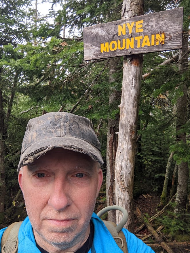
    Last September (2021) I took my wife on a trip to Lake Placid and stayed at the Crowne Plaza. She’s not big on hiking (high peak hiking at least) so I awoke early the following morning and drove to the Loj to knock out Street and Nye.

    It was a cloudy and overcast day so the limited views on these summits wasn’t that big of an issue. I parked in the lot near the toll booth and suited up. The trailhead was across the entrance road near the port-a-potties. It starts as a nice path along Heart Lake that branches to a heard path. Look for the “Street Ski Trail” and don’t get mixed up at the trail intersections. I took a compass bearing on Street before I set out and it proved useful several times at path intersections and stream crossings.

    The trail goes up to a fork…right for Nye Mtn, left for Street Mtn.

    Nye is pretty close. Street was about 1/2 mile away, Nye 1/4. I chose Street first then Nye.

    After hitting the summits it was a backtrack to the car then back to the Hotel. While I love roughing it I have to say that a dip in the hot tub and dinner afterwards had it’s appeal.

  • Seven Summits

    The Seward’s and Santanoni’s were the last two actual ranges for me to complete. Since they were in the same “neighborhood” I decided to make them my objectives and dedicated some physical training and vacation time to the cause.

    My friend Paul went with me. We departed Western NY around midnight on the 22nd of June and drove through the night, arriving at the Cory’s Rd trailhead for the Sewards early in the AM. It was a rainy morning as we set off along the trail.

    We took the “long walk” from the trail sign-in to the Wards Brook Lean-to where we set up our hammocks. We chose to nap till noon to see if the weather improved before deciding if we wanted to attempt Seymour Mtn. The weather wasn’t any better or worse when we awoke.

    We decided to go for it, since the next day’s forecast was was supposed to be nice and we wanted to dedicate that day to the rest of the range. It was a wet and muddy slog but nothing extremely difficult. We found the cairn on the trail close to our camp and followed the herd path up. The path was relatively easy to follow at first but it did get a little confusing when we got to the slabs, boulders and steeper terrain near the top. If you look for the tell tale hiking pole marks and foot prints you will figure it out. You will find various paths where other hikers got lost or were attempting walk arounds but they all seem to eventually rejoin the main path. The top was cloudy with no views that afternoon.

    We returned to the Lean-To area and it was still vacant. The Ward’s Brook lean-to actually has a picnic table and stone fire pit, so we started a fire to get a little shoe drying done and cooked up dinner.

    As predicted, the following morning was clear and sunny. We had breakfast and struck out the opposite way on the trail towards the cairn for Seward, Emmons and Donaldson.

    Much like Seymour, it was a herd path that meandered up the mountainside and eventually turned “bouldery” with sections of slab scrambles as we neared the top. There were some nice areas with views along the way and around the summit.

    Then it was down the Col and back up to Donaldson. Muddy in parts…nothing atypical for the ADK’s.

    Now for the “tougher than I expected part”…..

    The map I had showed the path between Donaldson and Emmons being a jaunt along a ridge. As I learned it, long gaps between contour lines mean gradual elevation changes…sorry for the blurry photo, it was the best I could do.

    The ACTUAL path seemed to meander up and down the right side of the ridge on the way to Emmons. There’s some steep “up and downs” to get there and a good amount of mud.

    My buddy wasn’t to keen on redoing the elevation gains/losses to backtrack the same trail back to camp so we decided to take the descent trail west off Donaldson. The terrain was less steep, but it added SEVERAL miles of trail walking back over the same path we took from the trailhead. We were headlamping it back to the lean-to at the end of the day. A quick meal then into the blessed hammocks.

    We slept in the next morning. The plan was to take a leisurely hike back to the car and drive around to the Santanoni trailhead. From there we intended to hike in, set camp and call it a day. That’s pretty much what we did. We got back to the car, stopped at Stewart’s in Tupper Lake for some grub, took a ride South and East around to the Tahawus Rd and then drove North to the Trailhead.

    The trail from there begins on an actual “road” (probably an old logging road) that intersects with a hiking trail that we turned right onto. The trail follows a stream uphill. Its really pretty flat, soft and pleasant for quite a ways till it turns “bouldery” with sections of decayed corduroy road.

    We decided to find a spot with good water access and set up our camp the legal 150 feet away from a trail or water source. We found a nice area about a quarter mile from the Santanoni cairn marker and set-up our hammocks there.

    The next day I took off for the trail around 0730-0800 hrs. I found the cairn for the Santanoni herd path south of Bradley Pond, rock hopped across the stream and started up. It was relatively steep but not too bad. The path followed the general formula, roots and dirt turning into stones and boulders, turning into slabs and scrambles over bare rock.

    Near the top, the herd path hits a “T”. To the right is Panther, to the left is Santanoni. Turn right. Don’t stop at the false summit, follow the path till you find the peak sign.

    The trail back towards Panther is not too strenuous. The intersections of the herd paths may confuse you though. You first hit the intersection that turns left towards Couchsachraga or continues straight. Go straight. Then there’s a cairn where the path goes straight or turns right. Right takes you back down the side of Panther towards the path you started on when coming up (but north of Bradley Pond). Straight on takes you to a scramble up onto bare rock with a fantastic view. Find the path into a small wooded “nub” that’s the actual summit.

    Someone took a dump right on the summit…I just can’t figure people out….

    Anyway…it’s back down the path, past the first cairn/intersection, then take the turn off for “Couch”.

    The hike to Couch is pretty rugged with a lot of descending. It seems to go on and on. You will eventually hit the infamous “bog”. It looks impassible and you could be over your knees in mud if you misstep. Take your time, look for footprints and pick your path. Hiking poles come in handy here for depth testing and balance on logs. I made it with minimal shoe wetting.

    After the bog it starts to go up, then levels, then goes down then starts up again till you hit the summit. You have to pull some actual climbing moves up and over the final summit boulder. Again it seemed to go on and on.

    The summit is wooded with no good view. Not may favorite peak, but you gotta do it.

    Nothing to do but backtrack to Panther. It seemed just as long going back. It’s mostly uphill now…and I ran out of water. Lesson…make sure you fill up before you reach the summit of Panther or Santanoni because that’s the last H2O you will see.

    After some sweaty hiking I found myself back at the intersection for Panther and the descent. I headed down looking for water. This path is much rockier and steeper. I believe this is the path they call “The Express”. Maybe a half mile down or so the path starts turning into a stream. I filtered some water, ate some Cliff Bar, tended my feet then strapped up again and continued. There are some nice views of Bradley Pond as you get lower with some impressive cliffs along your left.

    When I got to the bottom I returned to the marked trail and hung a right turn for “home”. I got back to the camp area around 1600 and gave myself a towel bath in the stream near camp.

    We had some grub, took in some views and sun on the rocks then hit the hammocks early. We shot the shit till it turned dusk/dark and fell asleep for the night.

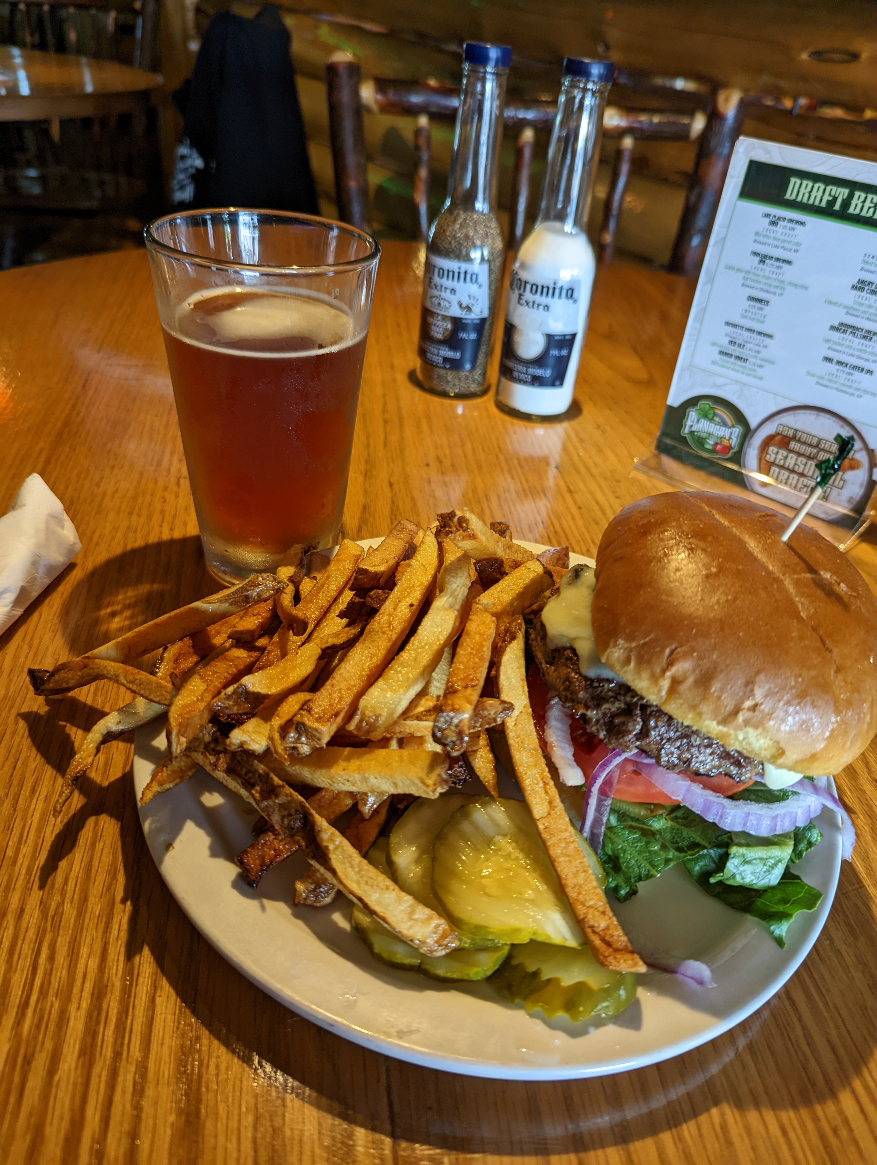
    Saturday morning we packed up and headed for home. With a traditional stop for burgers and beer at Flannigan’s in Schroon Lake.

    I have to total it up but a rough estimate of mileage for this excursion appears to be between 40-50 miles with a solid 17-18 of it with full pack. Not too shabby for “50 somethings”.

    38 of 46.

  • I’m narrowing down the window for my June trip. Probably between the 21st and July 2nd. I have to pick the solid dates at weeks end. This post will serve as info for the family as to my plans.

    If all goes according to plan, the weather co-operates and I have the “juice” to do it, I will hike/climb the Seward Range and the Santanoni Mountains. A total of 7 High Peaks.

    Ill be heading out around 11PM and driving through the night to the Seward Trailhead.

    From there Ill hike to Ward Brook Lean-To, set camp and climb Seymour Mountain.

    The next day I will do the rest of the Seward’s then spend the night in camp.

    Day 3 I’ll return to the car and drive around to the Santanoni Trailhead. Resupply my food stocks then hike out to Bradley-Pond Lean-to. After camp is set I’ll climb Santanoni.

    Day 4 will be the rest of the peaks.

    Day 5 will be the hike back to the trailhead then drive home.