
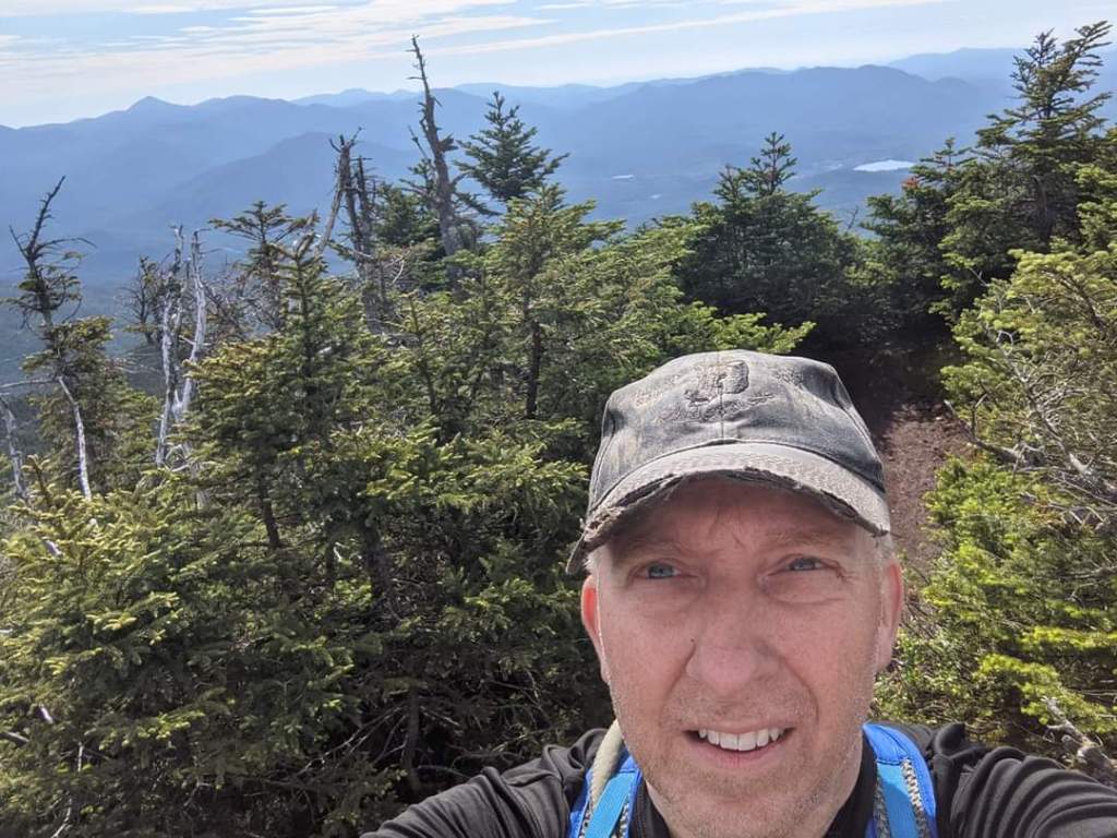
The Seward’s and Santanoni’s were the last two actual ranges for me to complete. Since they were in the same “neighborhood” I decided to make them my objectives and dedicated some physical training and vacation time to the cause.
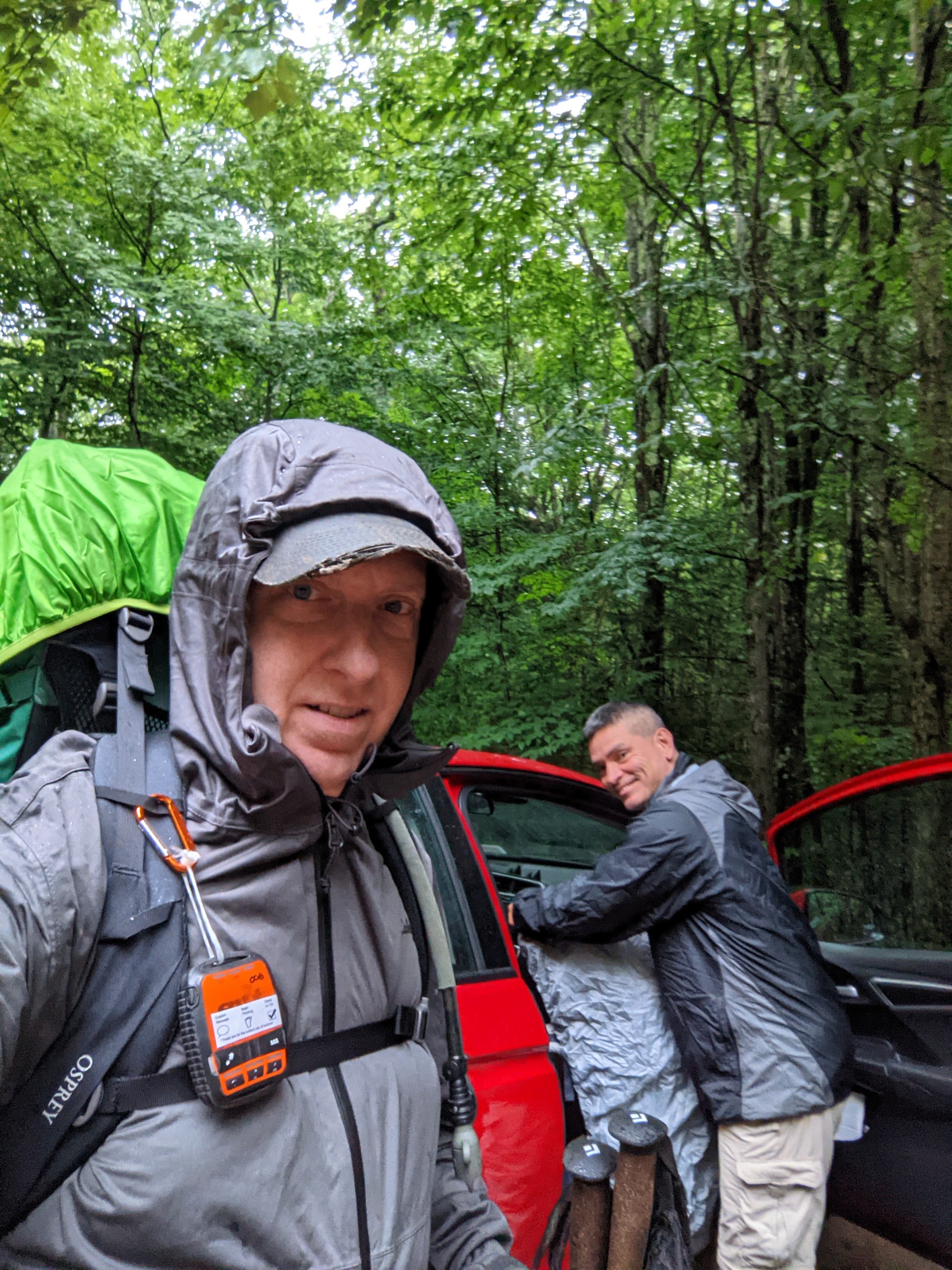
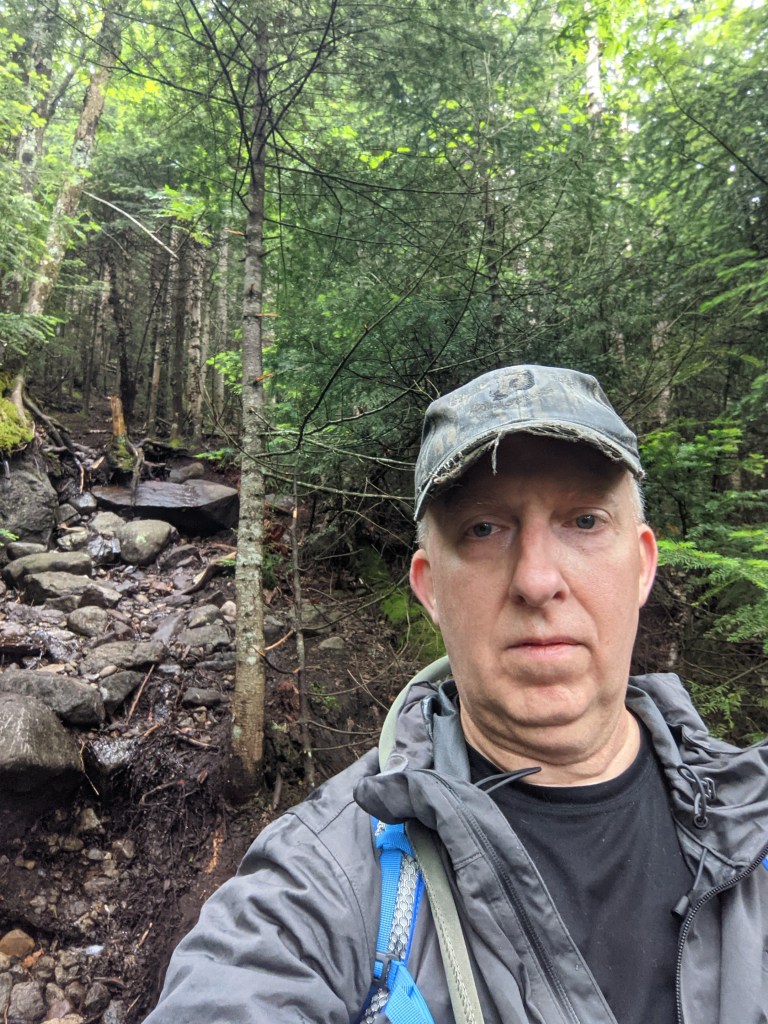
My friend Paul went with me. We departed Western NY around midnight on the 22nd of June and drove through the night, arriving at the Cory’s Rd trailhead for the Sewards early in the AM. It was a rainy morning as we set off along the trail.
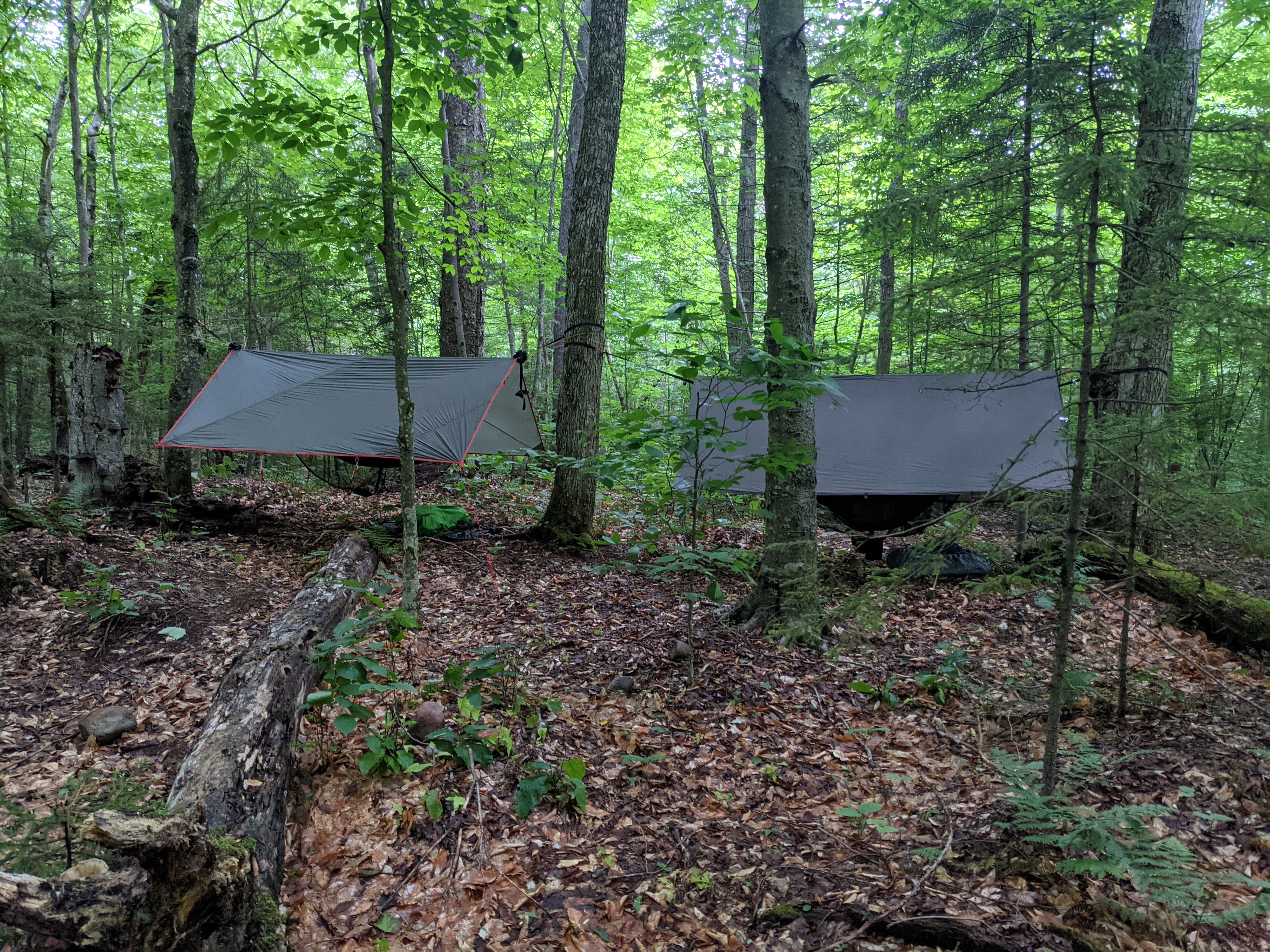
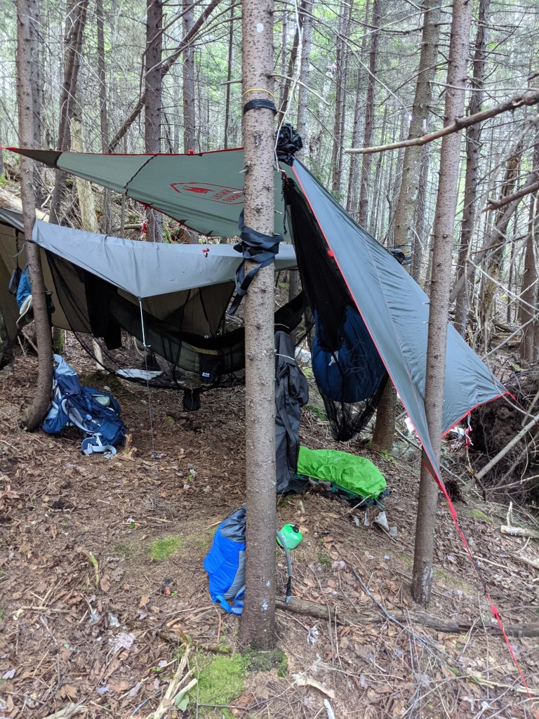
We took the “long walk” from the trail sign-in to the Wards Brook Lean-to where we set up our hammocks. We chose to nap till noon to see if the weather improved before deciding if we wanted to attempt Seymour Mtn. The weather wasn’t any better or worse when we awoke.
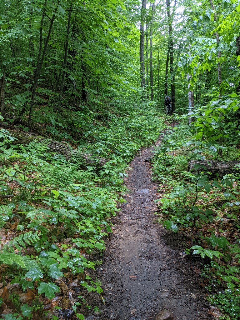
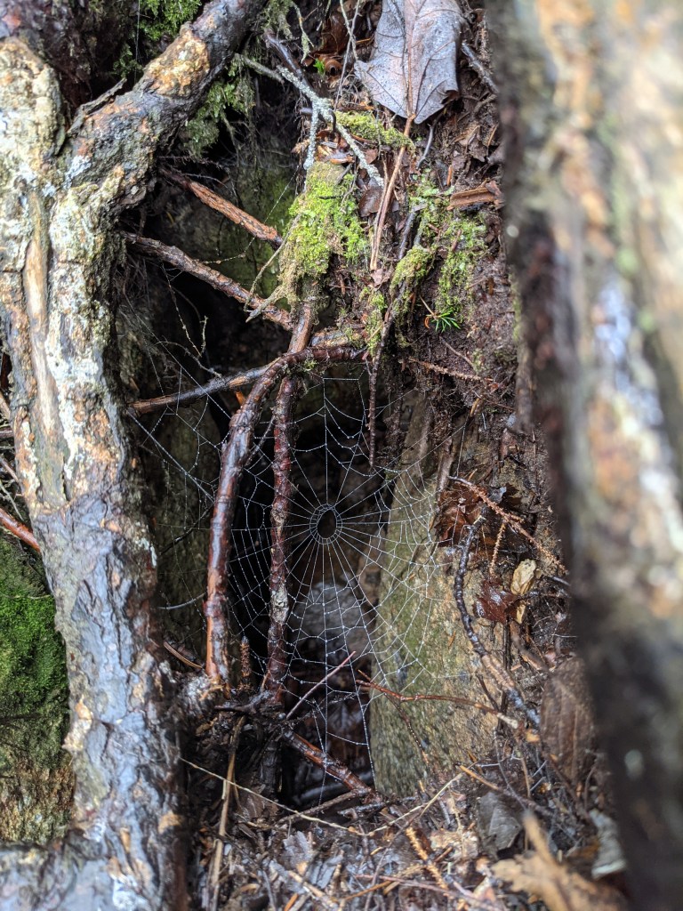
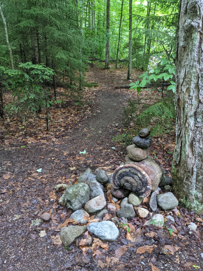
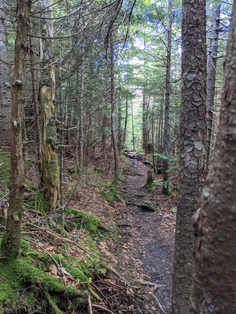
We decided to go for it, since the next day’s forecast was was supposed to be nice and we wanted to dedicate that day to the rest of the range. It was a wet and muddy slog but nothing extremely difficult. We found the cairn on the trail close to our camp and followed the herd path up. The path was relatively easy to follow at first but it did get a little confusing when we got to the slabs, boulders and steeper terrain near the top. If you look for the tell tale hiking pole marks and foot prints you will figure it out. You will find various paths where other hikers got lost or were attempting walk arounds but they all seem to eventually rejoin the main path. The top was cloudy with no views that afternoon.
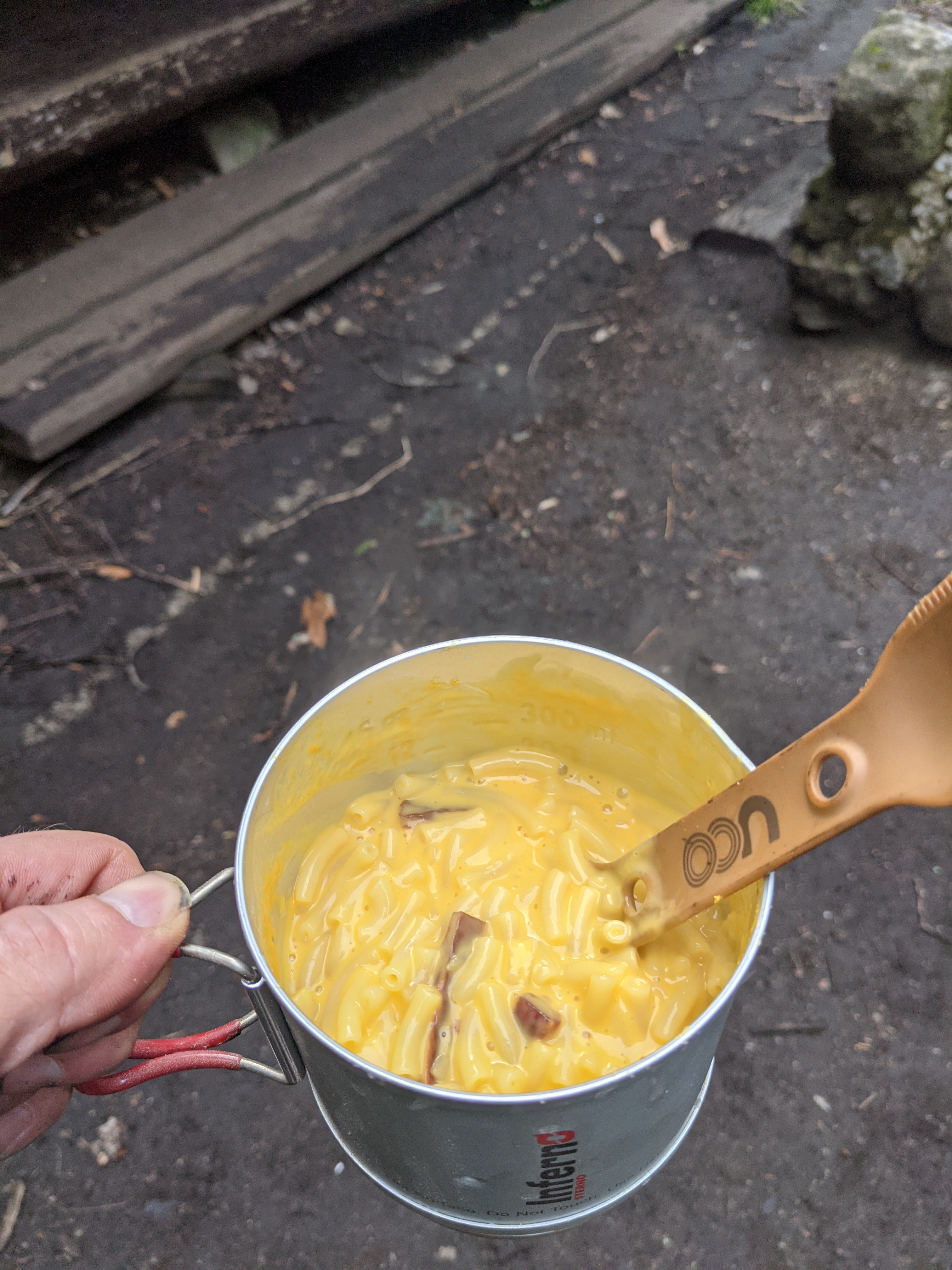
We returned to the Lean-To area and it was still vacant. The Ward’s Brook lean-to actually has a picnic table and stone fire pit, so we started a fire to get a little shoe drying done and cooked up dinner.
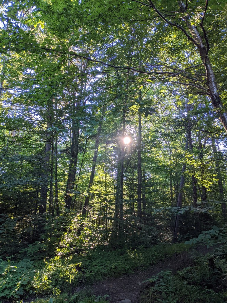
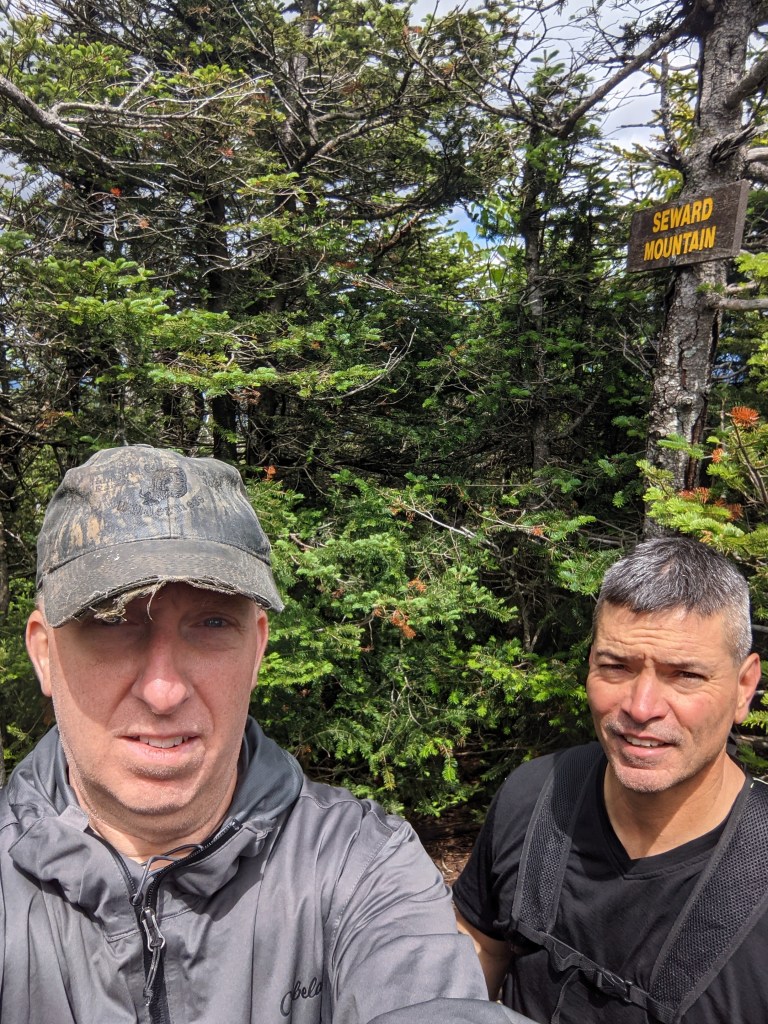
As predicted, the following morning was clear and sunny. We had breakfast and struck out the opposite way on the trail towards the cairn for Seward, Emmons and Donaldson.
Much like Seymour, it was a herd path that meandered up the mountainside and eventually turned “bouldery” with sections of slab scrambles as we neared the top. There were some nice areas with views along the way and around the summit.
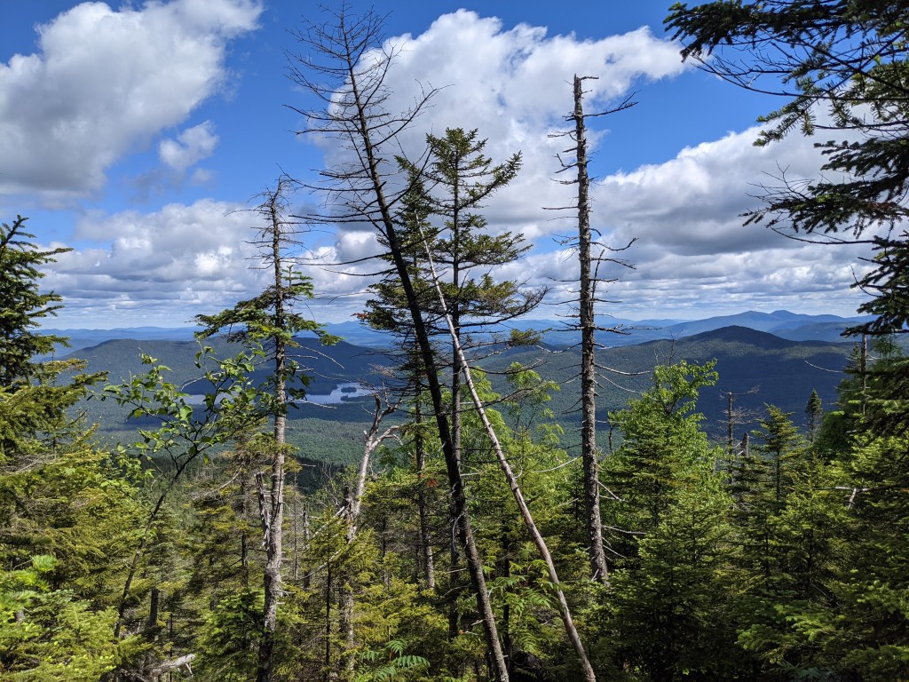
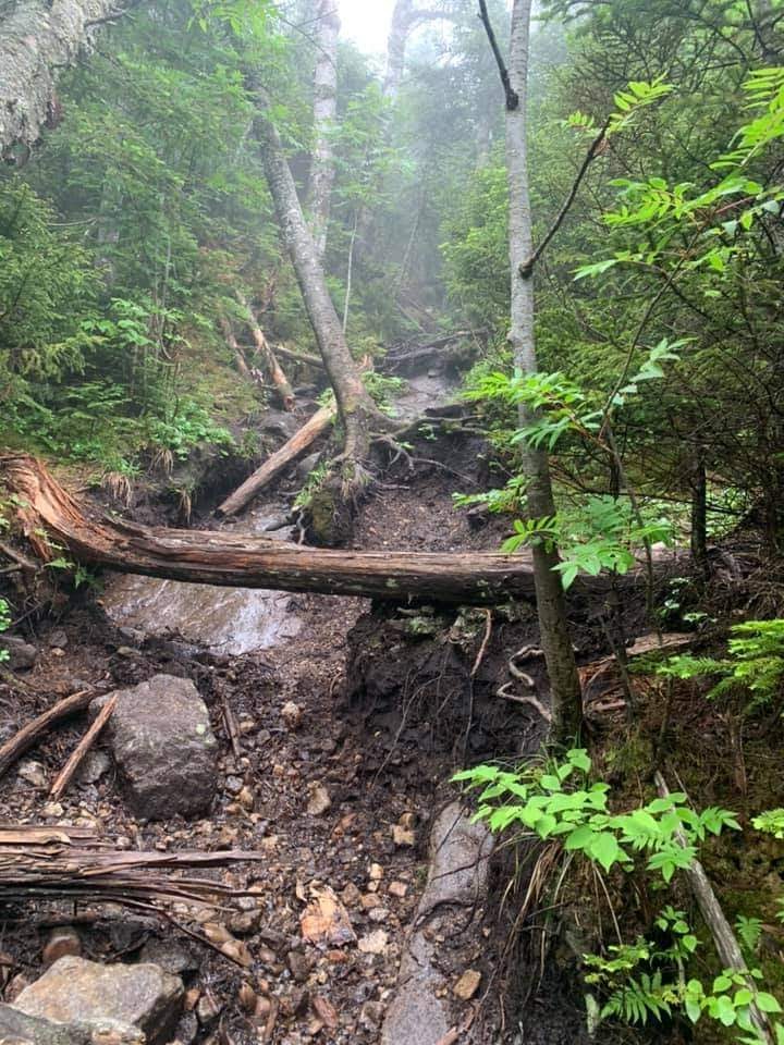
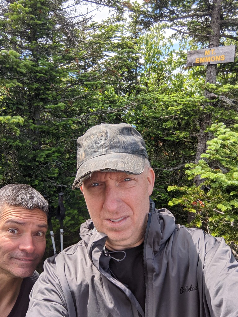
Then it was down the Col and back up to Donaldson. Muddy in parts…nothing atypical for the ADK’s.
Now for the “tougher than I expected part”…..
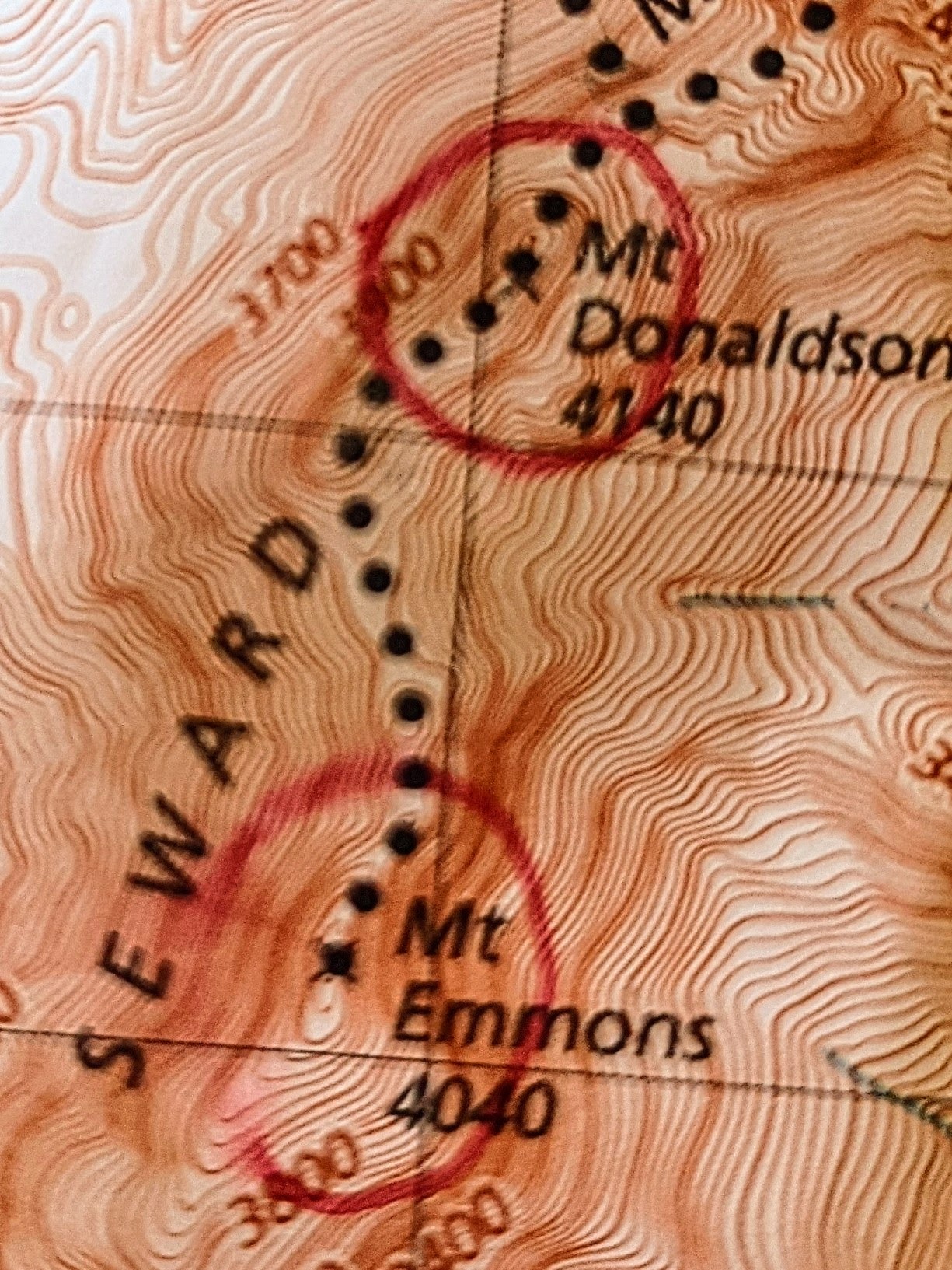
The map I had showed the path between Donaldson and Emmons being a jaunt along a ridge. As I learned it, long gaps between contour lines mean gradual elevation changes…sorry for the blurry photo, it was the best I could do.
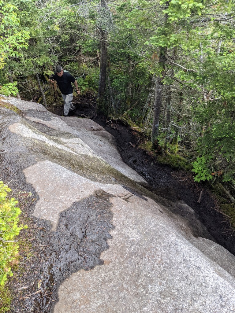
The ACTUAL path seemed to meander up and down the right side of the ridge on the way to Emmons. There’s some steep “up and downs” to get there and a good amount of mud.
My buddy wasn’t to keen on redoing the elevation gains/losses to backtrack the same trail back to camp so we decided to take the descent trail west off Donaldson. The terrain was less steep, but it added SEVERAL miles of trail walking back over the same path we took from the trailhead. We were headlamping it back to the lean-to at the end of the day. A quick meal then into the blessed hammocks.
We slept in the next morning. The plan was to take a leisurely hike back to the car and drive around to the Santanoni trailhead. From there we intended to hike in, set camp and call it a day. That’s pretty much what we did. We got back to the car, stopped at Stewart’s in Tupper Lake for some grub, took a ride South and East around to the Tahawus Rd and then drove North to the Trailhead.
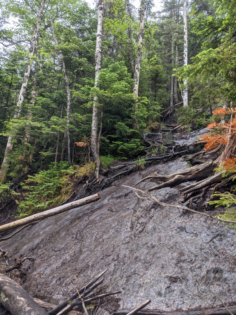
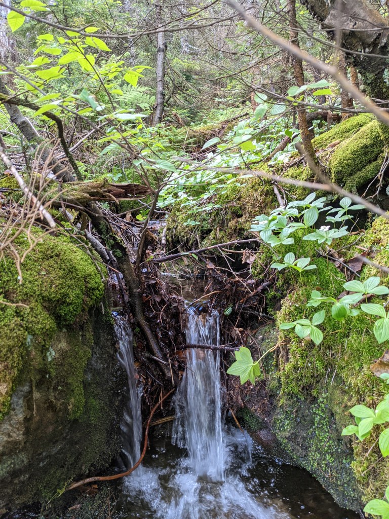
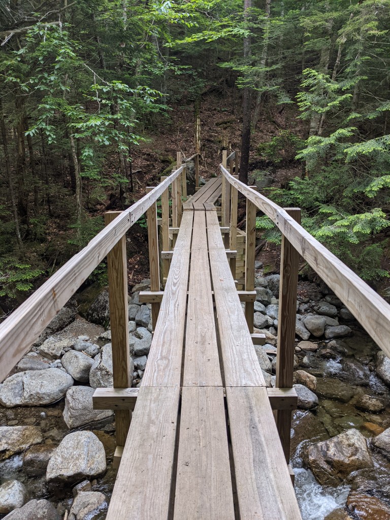
The trail from there begins on an actual “road” (probably an old logging road) that intersects with a hiking trail that we turned right onto. The trail follows a stream uphill. Its really pretty flat, soft and pleasant for quite a ways till it turns “bouldery” with sections of decayed corduroy road.
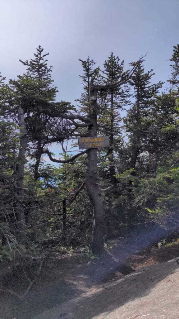
We decided to find a spot with good water access and set up our camp the legal 150 feet away from a trail or water source. We found a nice area about a quarter mile from the Santanoni cairn marker and set-up our hammocks there.
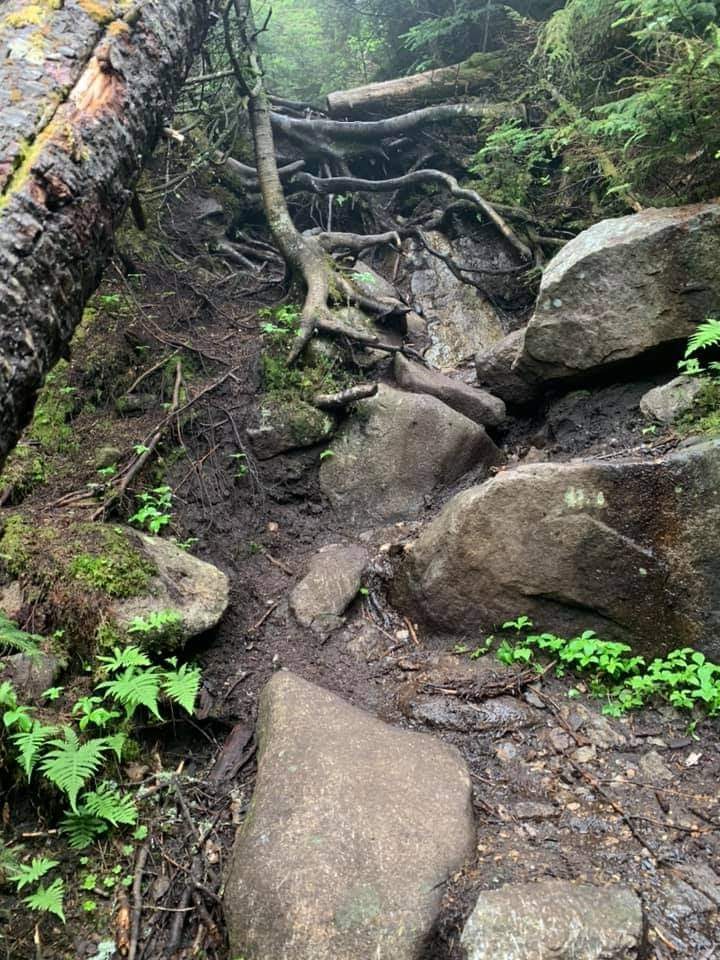
The next day I took off for the trail around 0730-0800 hrs. I found the cairn for the Santanoni herd path south of Bradley Pond, rock hopped across the stream and started up. It was relatively steep but not too bad. The path followed the general formula, roots and dirt turning into stones and boulders, turning into slabs and scrambles over bare rock.
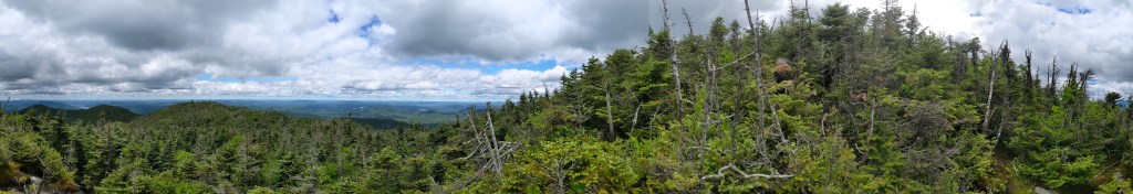
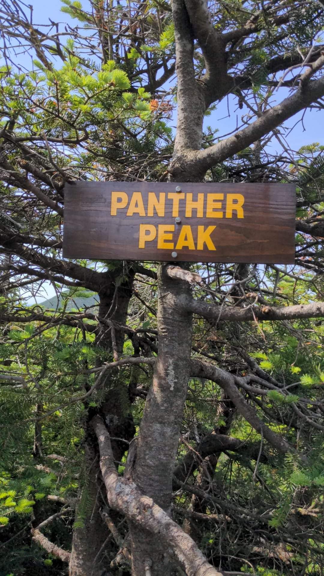
Near the top, the herd path hits a “T”. To the right is Panther, to the left is Santanoni. Turn right. Don’t stop at the false summit, follow the path till you find the peak sign.
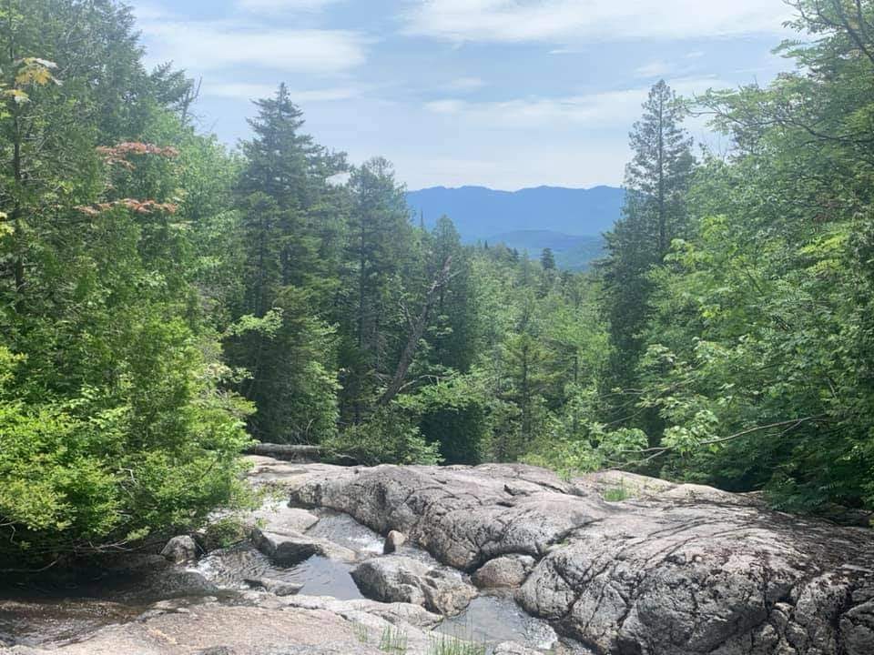
The trail back towards Panther is not too strenuous. The intersections of the herd paths may confuse you though. You first hit the intersection that turns left towards Couchsachraga or continues straight. Go straight. Then there’s a cairn where the path goes straight or turns right. Right takes you back down the side of Panther towards the path you started on when coming up (but north of Bradley Pond). Straight on takes you to a scramble up onto bare rock with a fantastic view. Find the path into a small wooded “nub” that’s the actual summit.
Someone took a dump right on the summit…I just can’t figure people out….
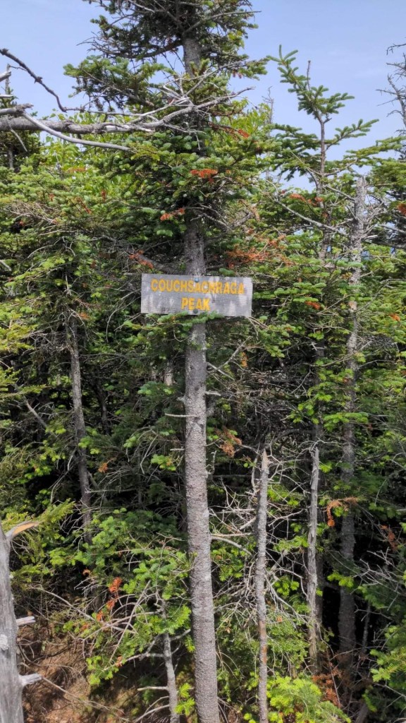
Anyway…it’s back down the path, past the first cairn/intersection, then take the turn off for “Couch”.
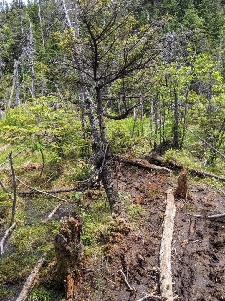
The hike to Couch is pretty rugged with a lot of descending. It seems to go on and on. You will eventually hit the infamous “bog”. It looks impassible and you could be over your knees in mud if you misstep. Take your time, look for footprints and pick your path. Hiking poles come in handy here for depth testing and balance on logs. I made it with minimal shoe wetting.
After the bog it starts to go up, then levels, then goes down then starts up again till you hit the summit. You have to pull some actual climbing moves up and over the final summit boulder. Again it seemed to go on and on.
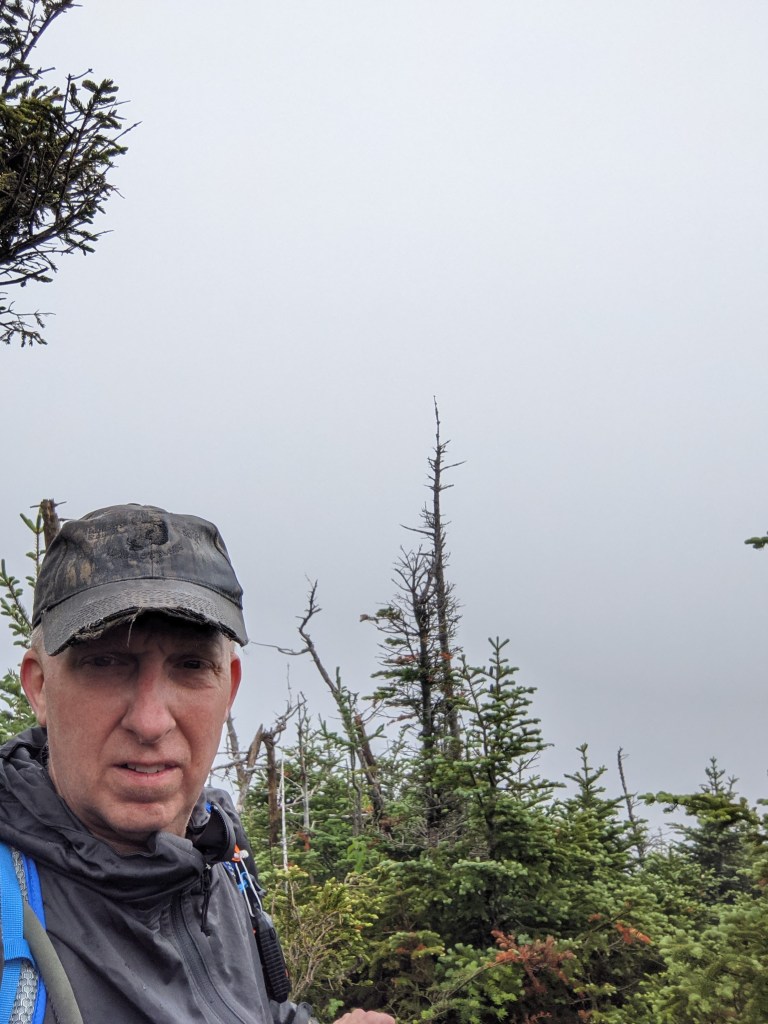
The summit is wooded with no good view. Not may favorite peak, but you gotta do it.
Nothing to do but backtrack to Panther. It seemed just as long going back. It’s mostly uphill now…and I ran out of water. Lesson…make sure you fill up before you reach the summit of Panther or Santanoni because that’s the last H2O you will see.
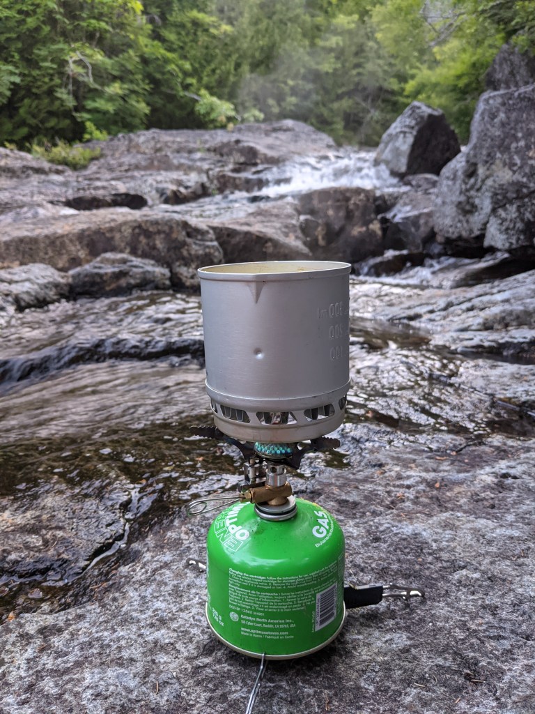
After some sweaty hiking I found myself back at the intersection for Panther and the descent. I headed down looking for water. This path is much rockier and steeper. I believe this is the path they call “The Express”. Maybe a half mile down or so the path starts turning into a stream. I filtered some water, ate some Cliff Bar, tended my feet then strapped up again and continued. There are some nice views of Bradley Pond as you get lower with some impressive cliffs along your left.
When I got to the bottom I returned to the marked trail and hung a right turn for “home”. I got back to the camp area around 1600 and gave myself a towel bath in the stream near camp.
We had some grub, took in some views and sun on the rocks then hit the hammocks early. We shot the shit till it turned dusk/dark and fell asleep for the night.
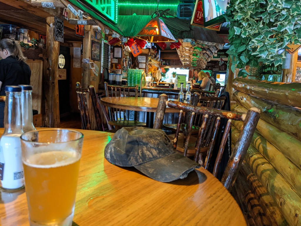
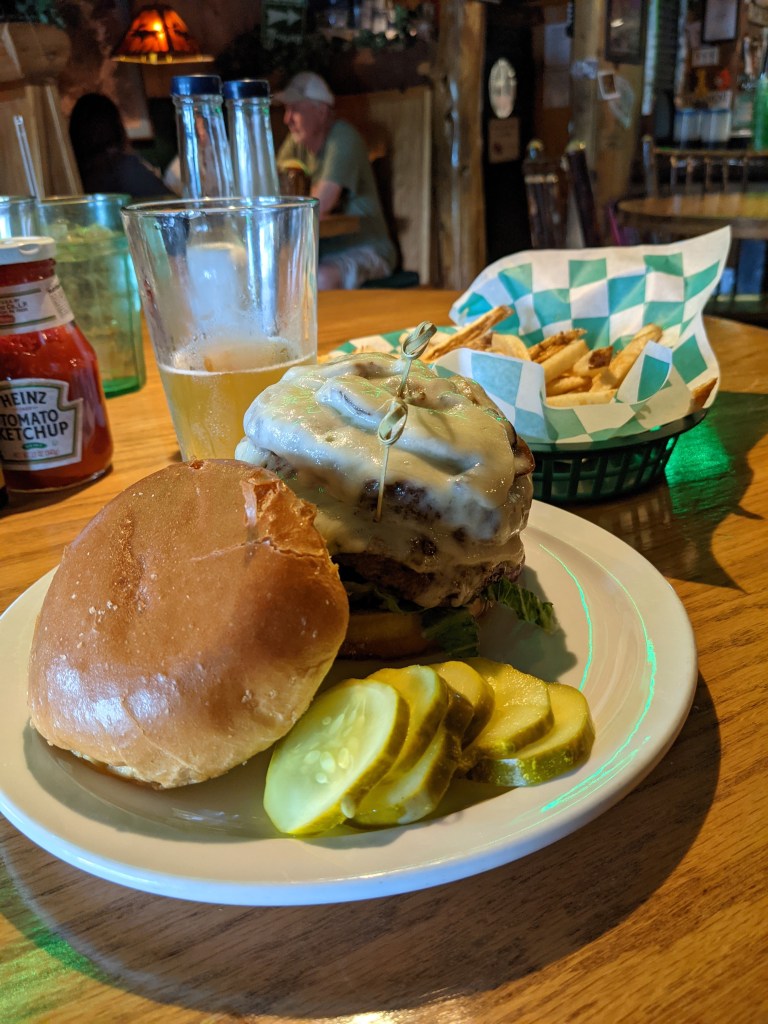
Saturday morning we packed up and headed for home. With a traditional stop for burgers and beer at Flannigan’s in Schroon Lake.
I have to total it up but a rough estimate of mileage for this excursion appears to be between 40-50 miles with a solid 17-18 of it with full pack. Not too shabby for “50 somethings”.
38 of 46.

Leave a comment